
Adventure Report: Langta Trek
WHO: Yu Liu
WHEN: August 2019
DIFFICULTY: 7/10
WHERE: Xinjiang North Tianshan
LENGTH: 180km 10days
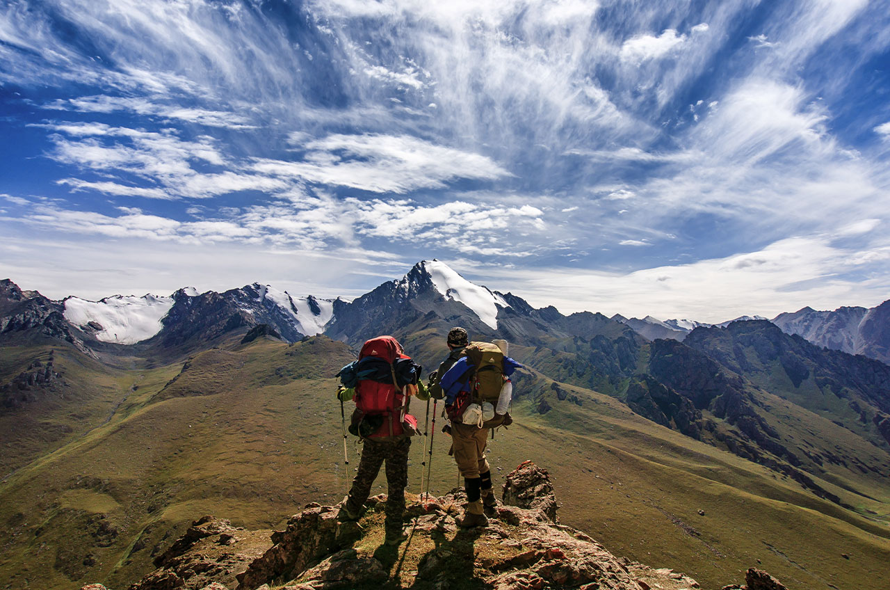
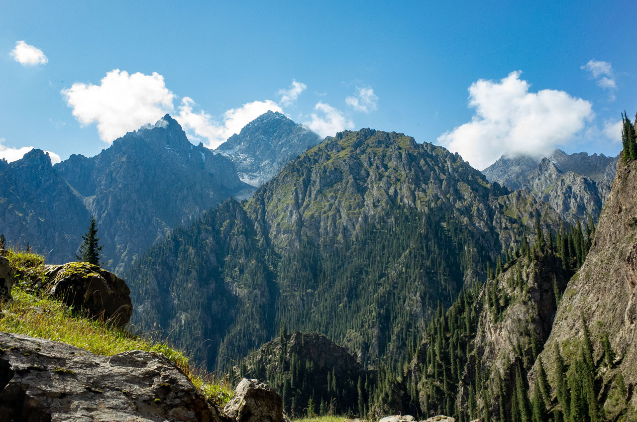
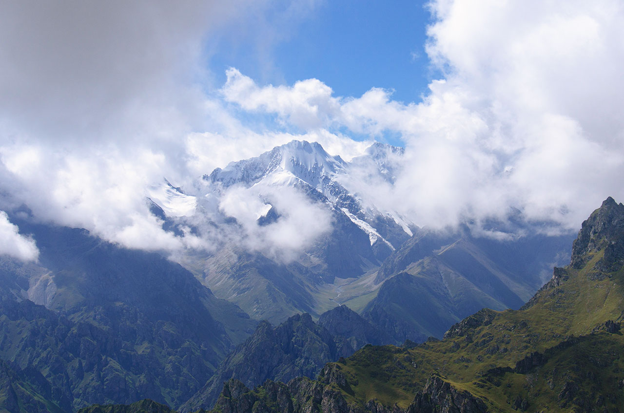
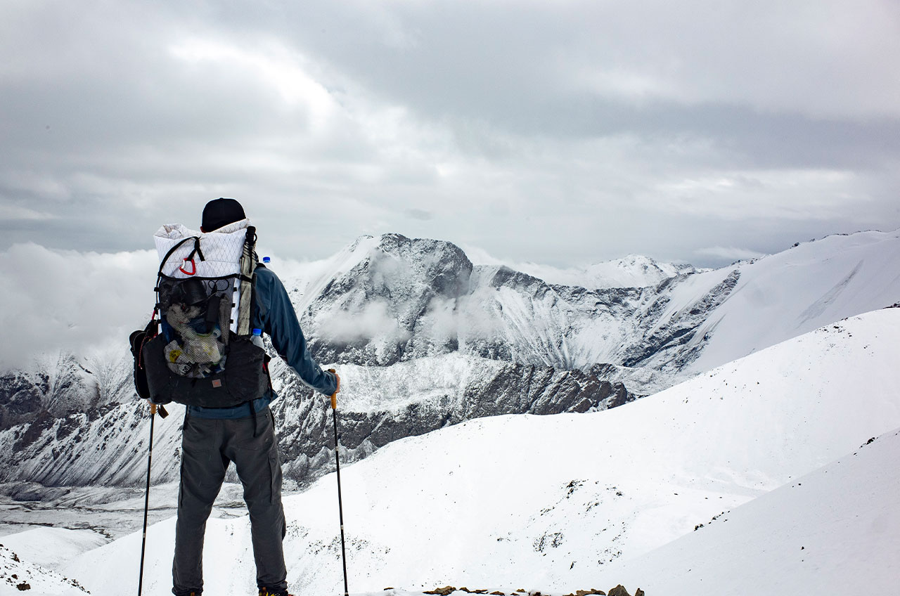
Langta is a 180km long high altitude trekking trail. It passes through the Northern Tianshan Mountains in Xinjiang and goes over 7 snowy mountain passes throughout. Langta Trek has an extremely high recognition in China and many hikers take pride in completing the trail.
The name Langta comes from the source of the Hutubi River, He Yuan Peak (5,290 metres above sea level), which in the local Kazakh language is known as Land, meaning vast pastureland. Langta means ‘tower mountain guarded by wolves’, and this name is the name of the highest peak in the region, Heyuan Peak, by the Kazakh herders. The Langta Trek was the shortest way to reach Balentai in the south when transport was less developed.
I’ve completed this trail several times, 2013, 2018 and 2019 respectively. A photo was taken at 2013 and was liked by many hiker.
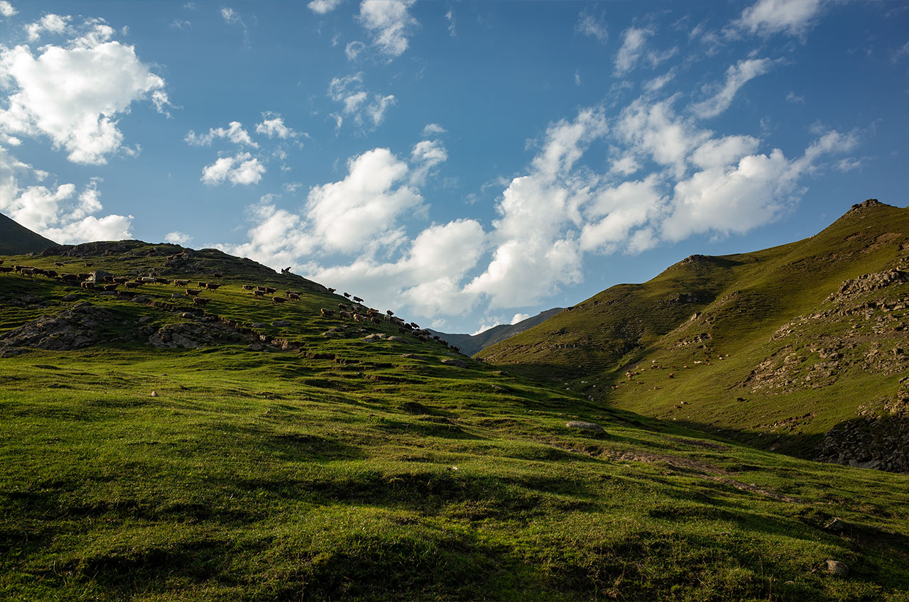
DAY1 15km Coal mine – Kalamoyinake-grassland below Baiyanggou Pass
It takes half a day to reach the start of the trek from Urumqi city, passing through 1 registration station to record the time and number of people entering the mountain.
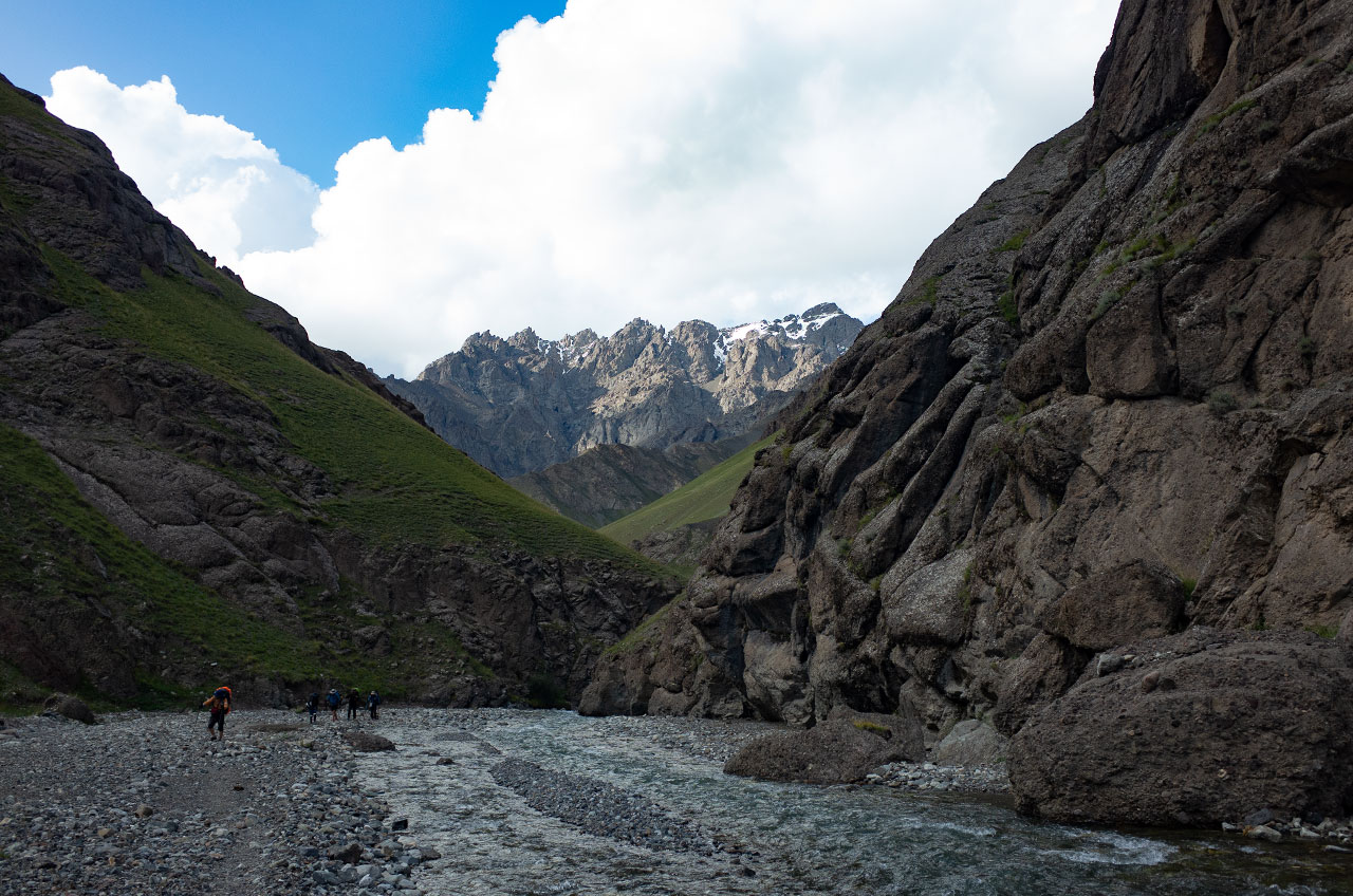
The Baiyanggou valley is hidden behind a coal mine. The coal mine here burned underground several years ago and you can still see the flames coming out of the ground.
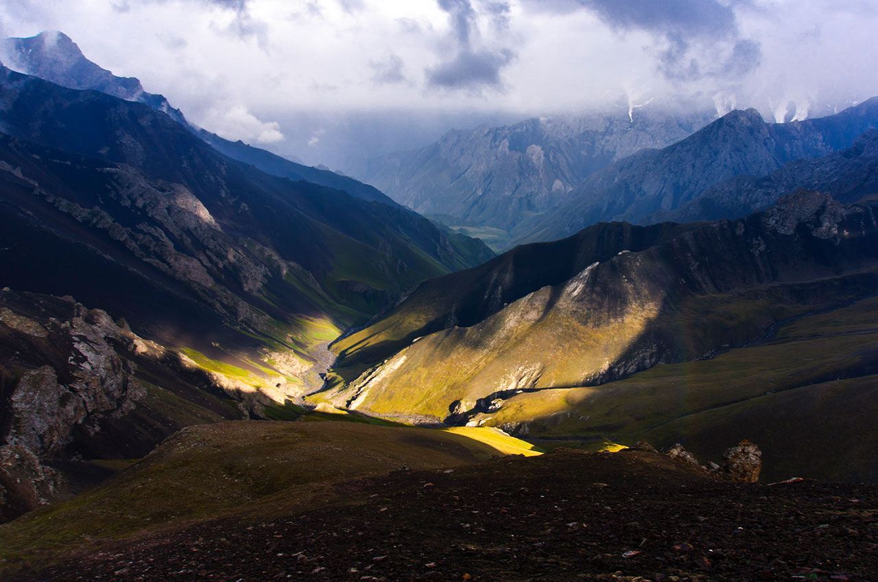
The valley is very deep and requires a hike of at least 15 kilometres before you can see the high mountains that you will have to go over tomorrow.
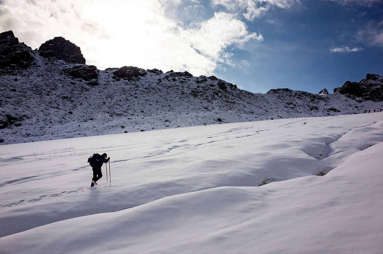
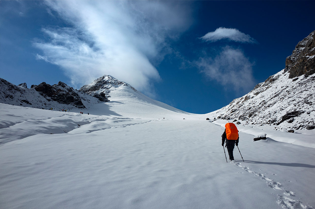
DAY2 18km Baiyanggou Pass 3850-Taipuxima Valley Camp
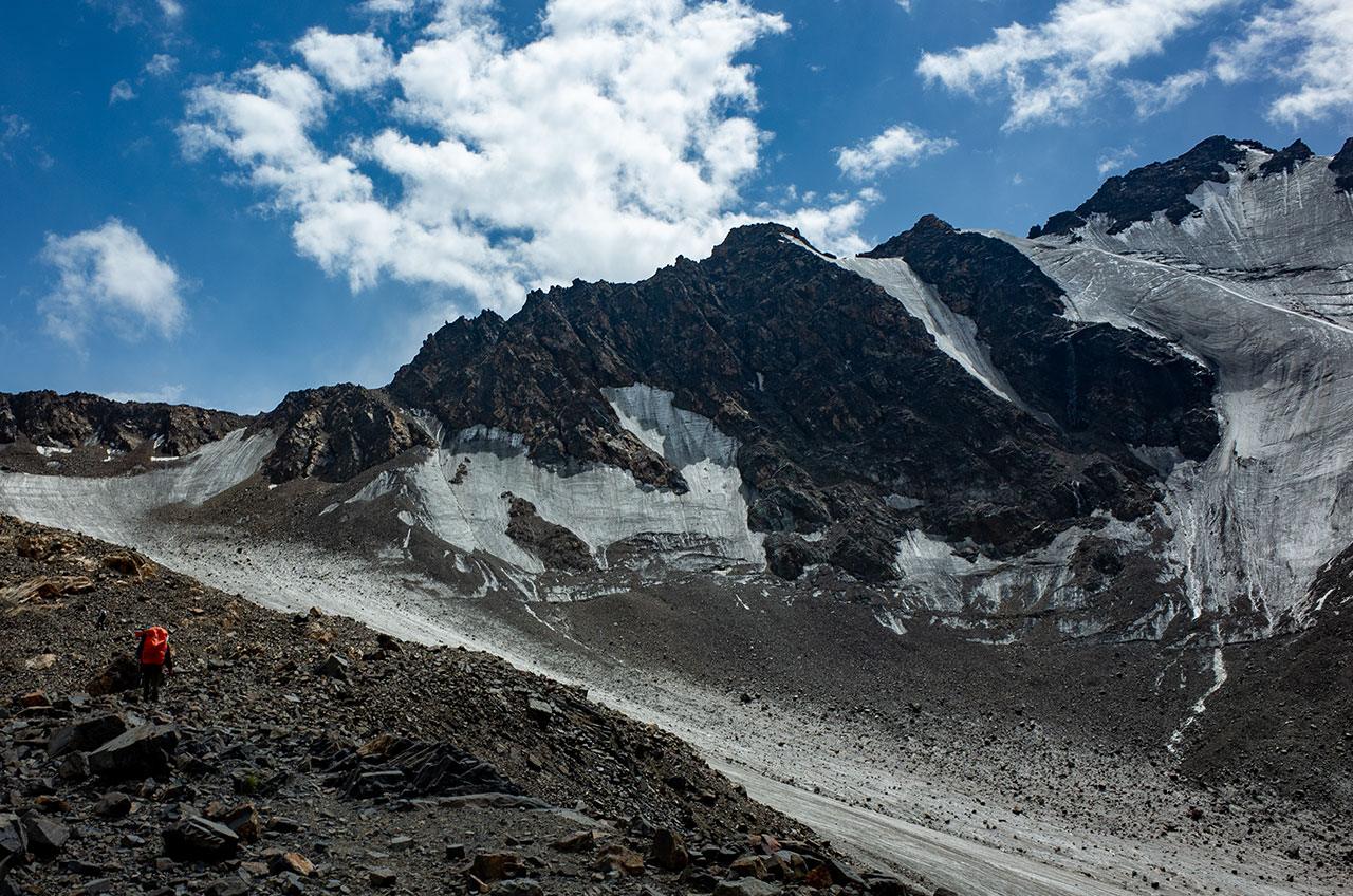
As we made our way up the valley, we could see the glacier on the north side, and climbing 1000 metres upwards along a path to the east of the glacier, we reached the pass just before 3pm. After crossing this pass, the Langta’t Trek tour starts.
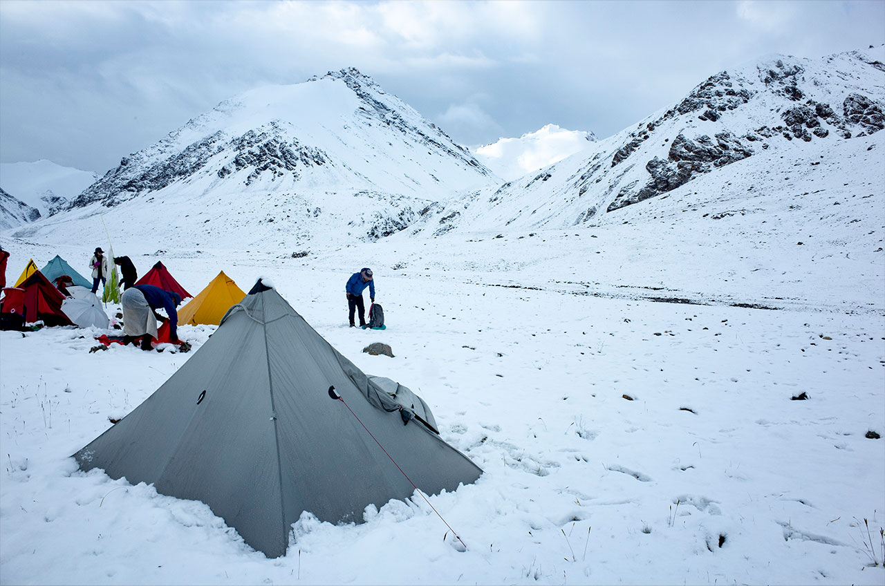
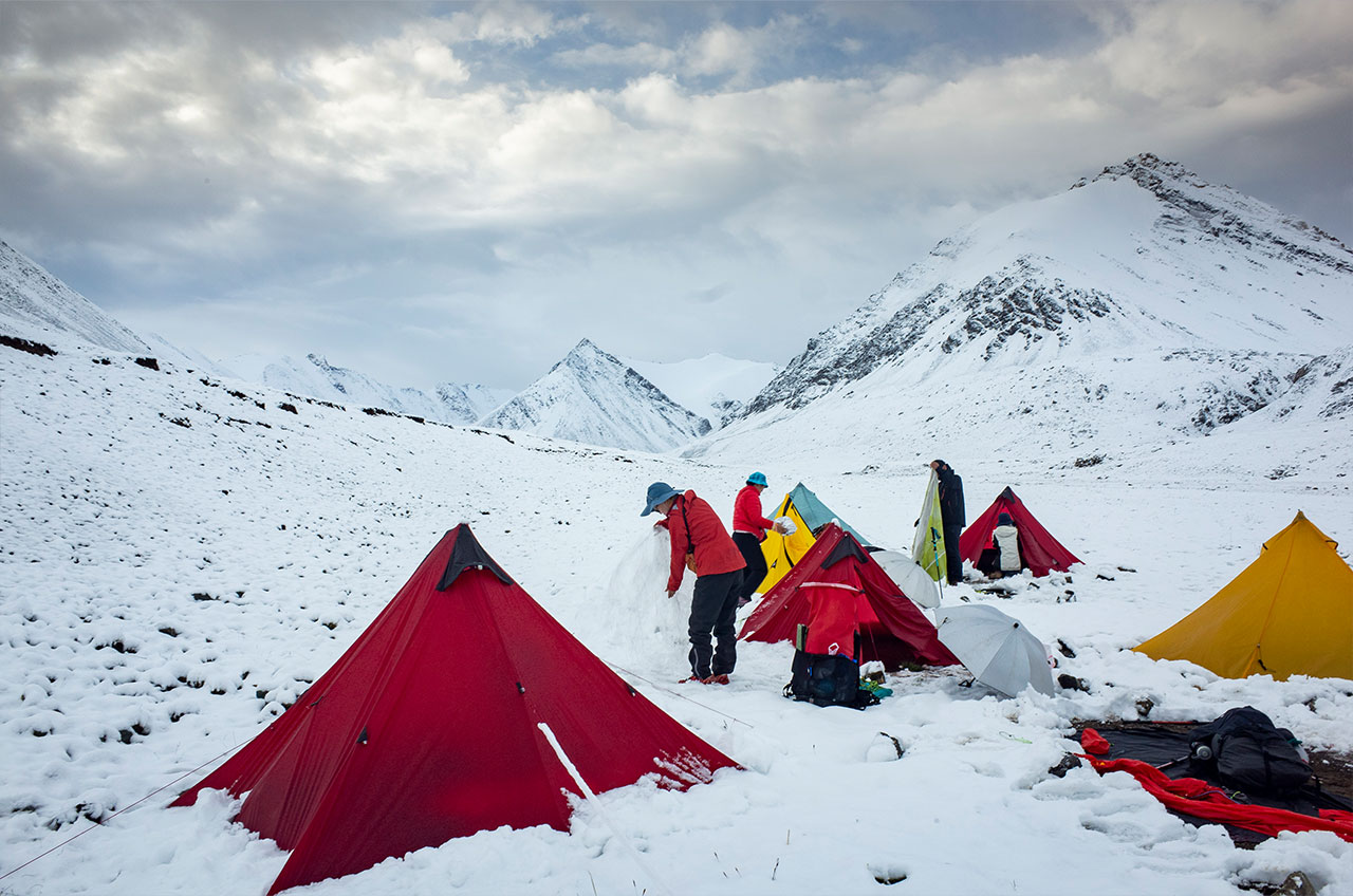
The descent was long and most people arrived in the valley in the dark. There is a herdsman’s house here and there is an option to camp here. If it is early, there are several other campsites in the valley.
DAY3 18km Taipuxima Valley-One Tree Camp
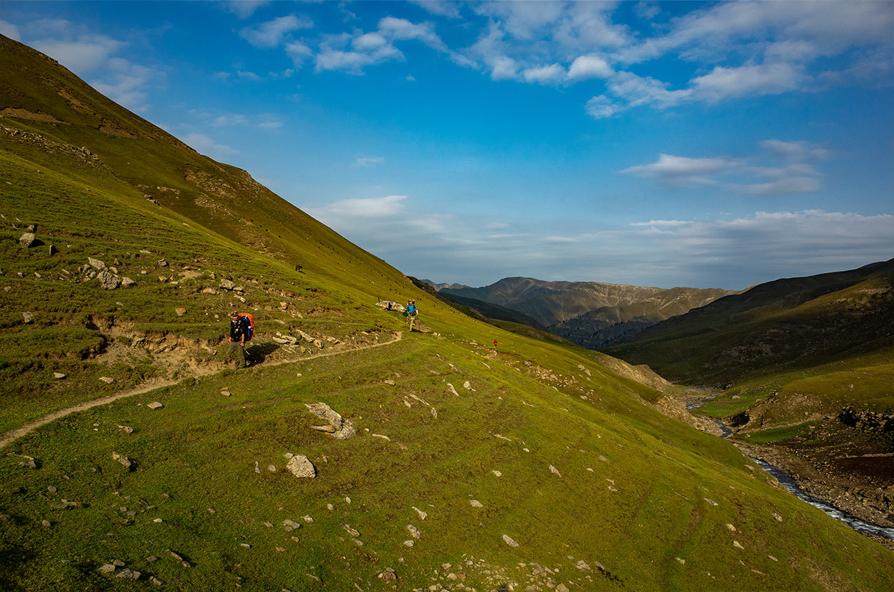
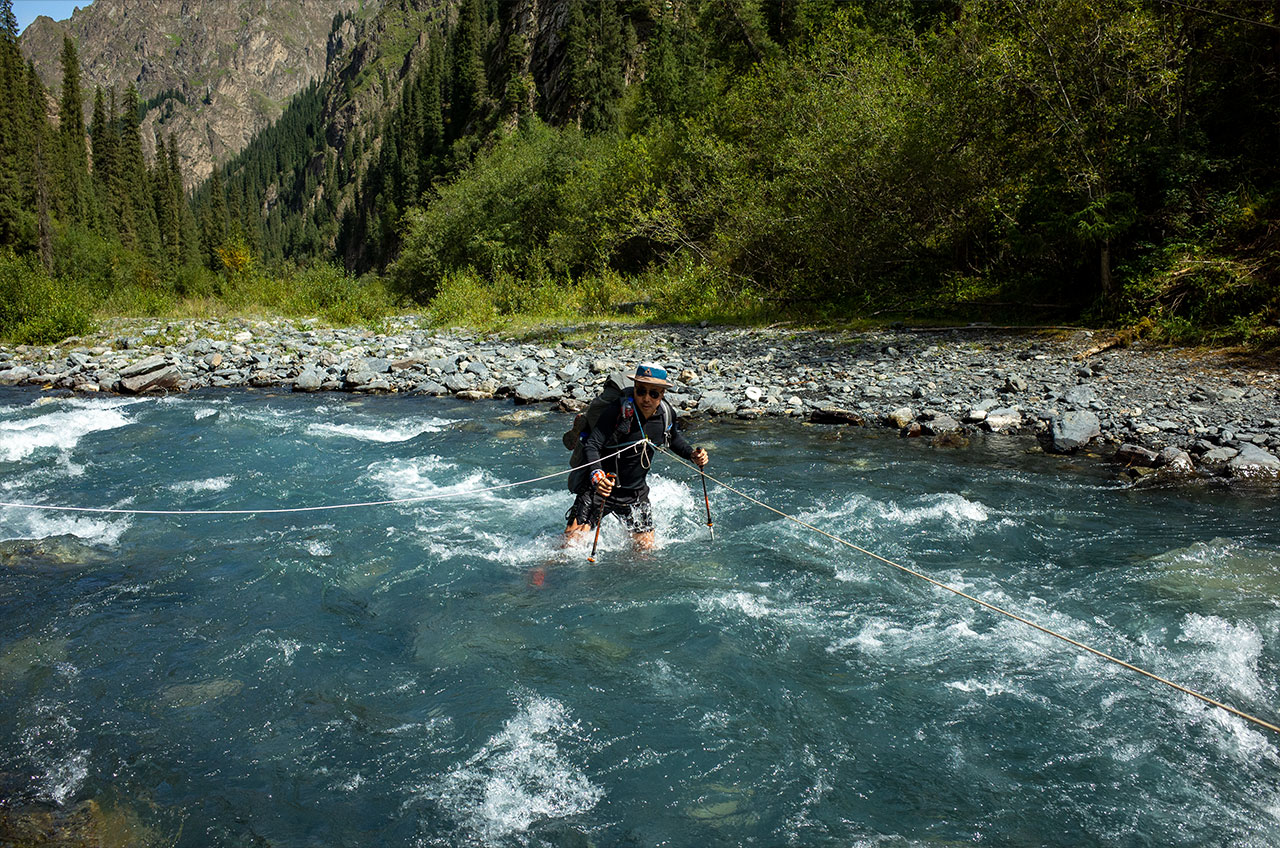
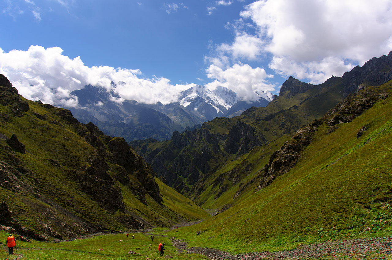
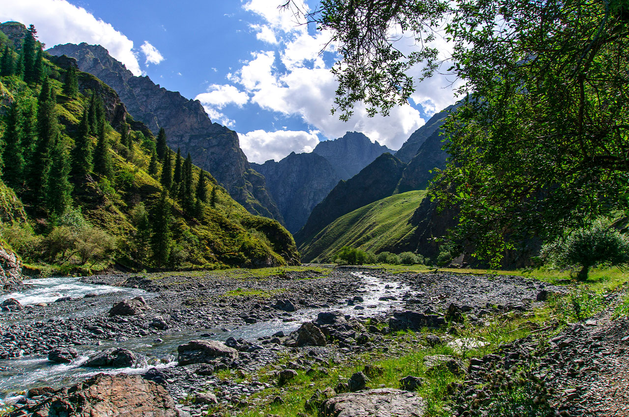
Today we descend to the Taipuxima Valley at an altitude of 2400 metres from where we enter the heart of Langta, the main tributary of the upper Hutubi River, the valley is narrow and deep, with fast flowing water and dense jungle on both sides of the river, keeping it in its natural and pristine condition.
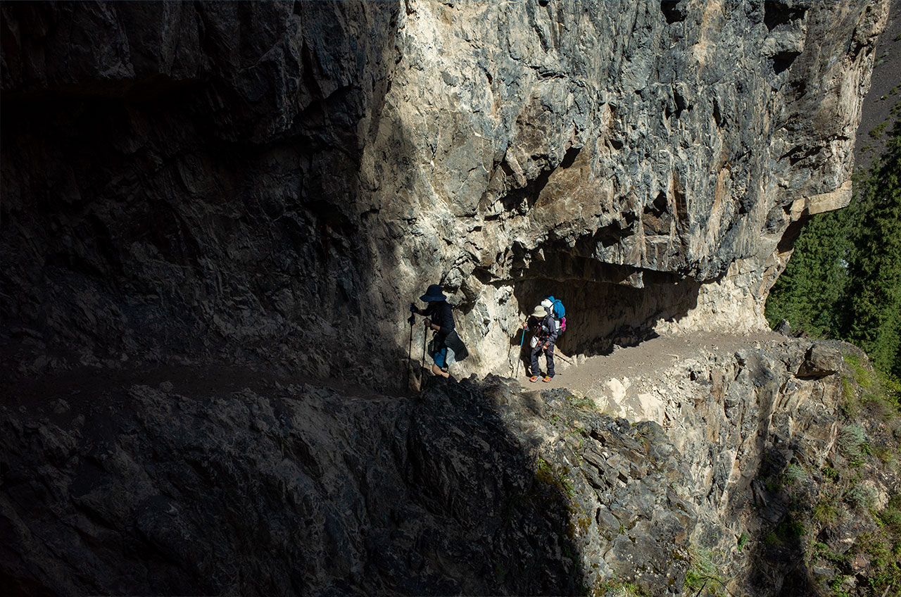
The valley is very steep, but it is possible to walk on trails that have been cut into the cliffs. This was designed by the ancient people for easy access. The path is about 1 metre wide and can pass a horse, so walking is even less of a problem.
There were no mountain passes to cross today, but the raging Taipuxima River needed to be crossed, and I carried ropes to make the crossing safe.
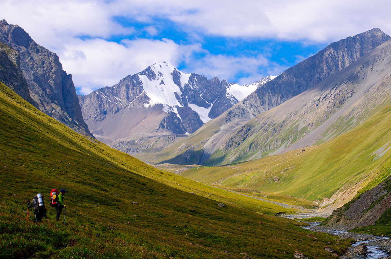
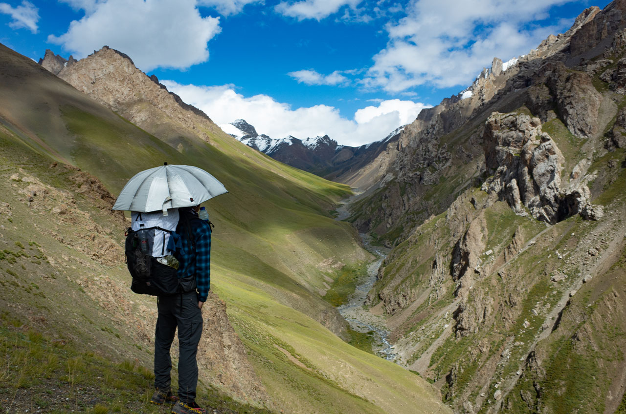
DAY4 19km Kuleateteng Pass 3550m- Ertelanta Valley- Alpine pasture
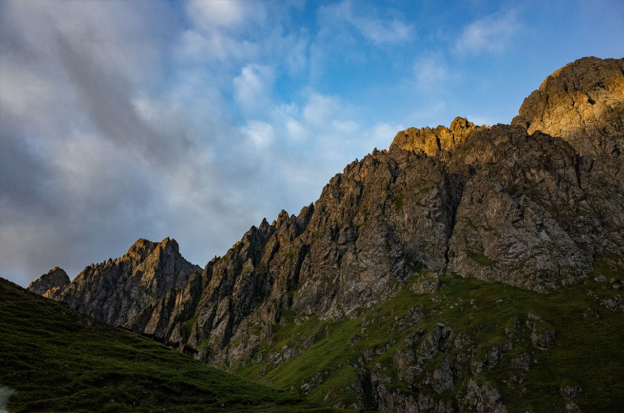
From the campsite there is a narrow valley to the south that climbs 1000 metres up the stream to reach the pass. It was very physically exhausting and it was midday when we arrived at the pass.
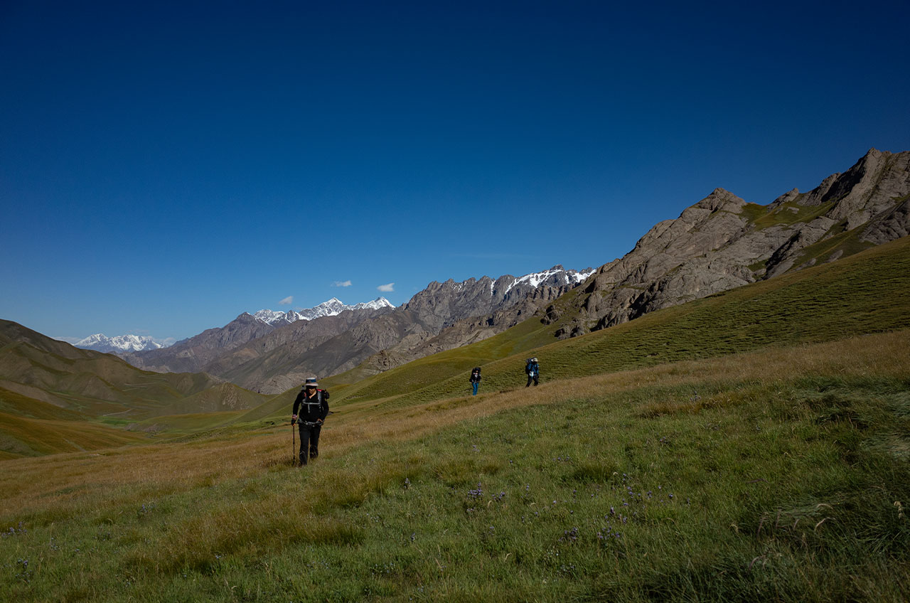
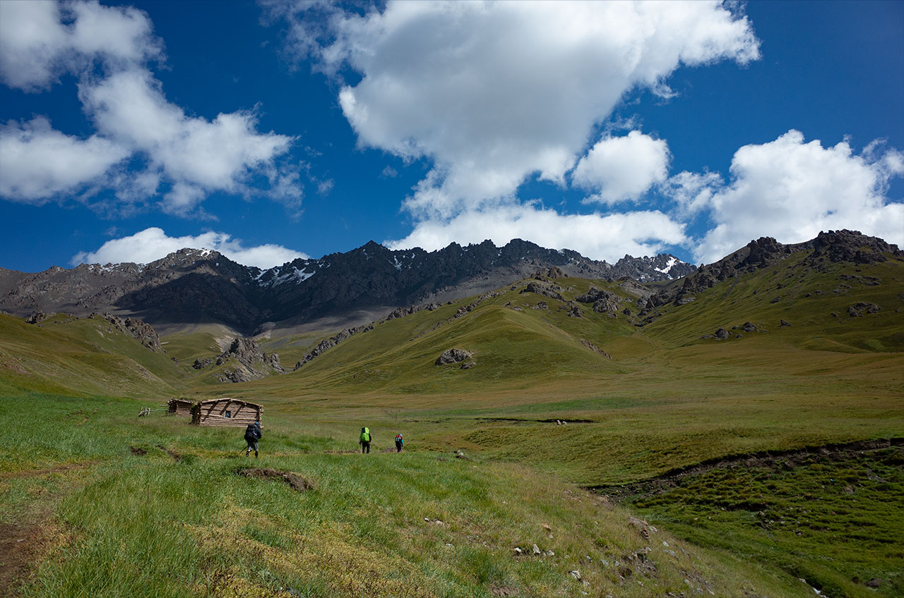
The descent was good, with gentle southern slopes and a beautiful open valley with meadows full of flowers and butterflies in mid-August. I was tempted to give this valley a name: Butterfly Valley.
The Ertelanta river valley is wide, with broadleaf trees growing sparsely in the flat meadows in the valley. It was a beautiful afternoon.
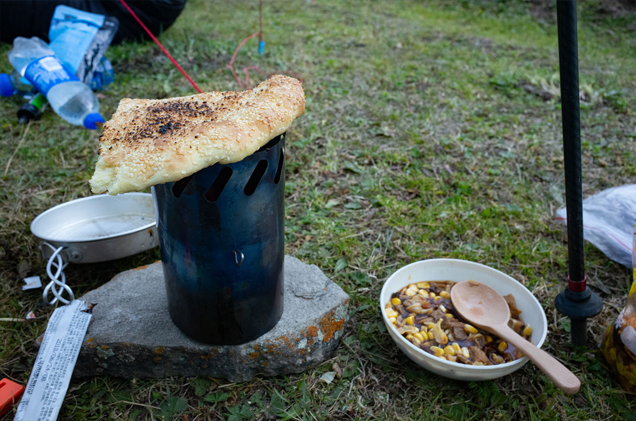
The campsite was near a temporary herdsmen’s tent, and we purchased a sheep from the herdsmen, who helped us make a delicious mutton soup.
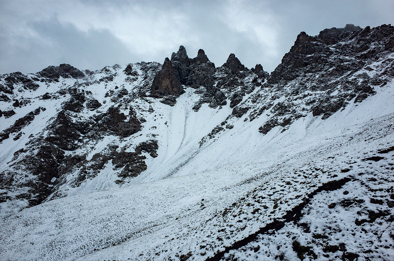
DAY5 16km Mengtekaizeng Pass3 950m- Kalagayite Pass 3760m-Haergatengguole Valley Camp
Until a few years ago, Mengtekaizeng Pass was piled up with snow and glaciers, but now, due to global warming, the snow and glaciers have melted at the top, leaking out black rocks.
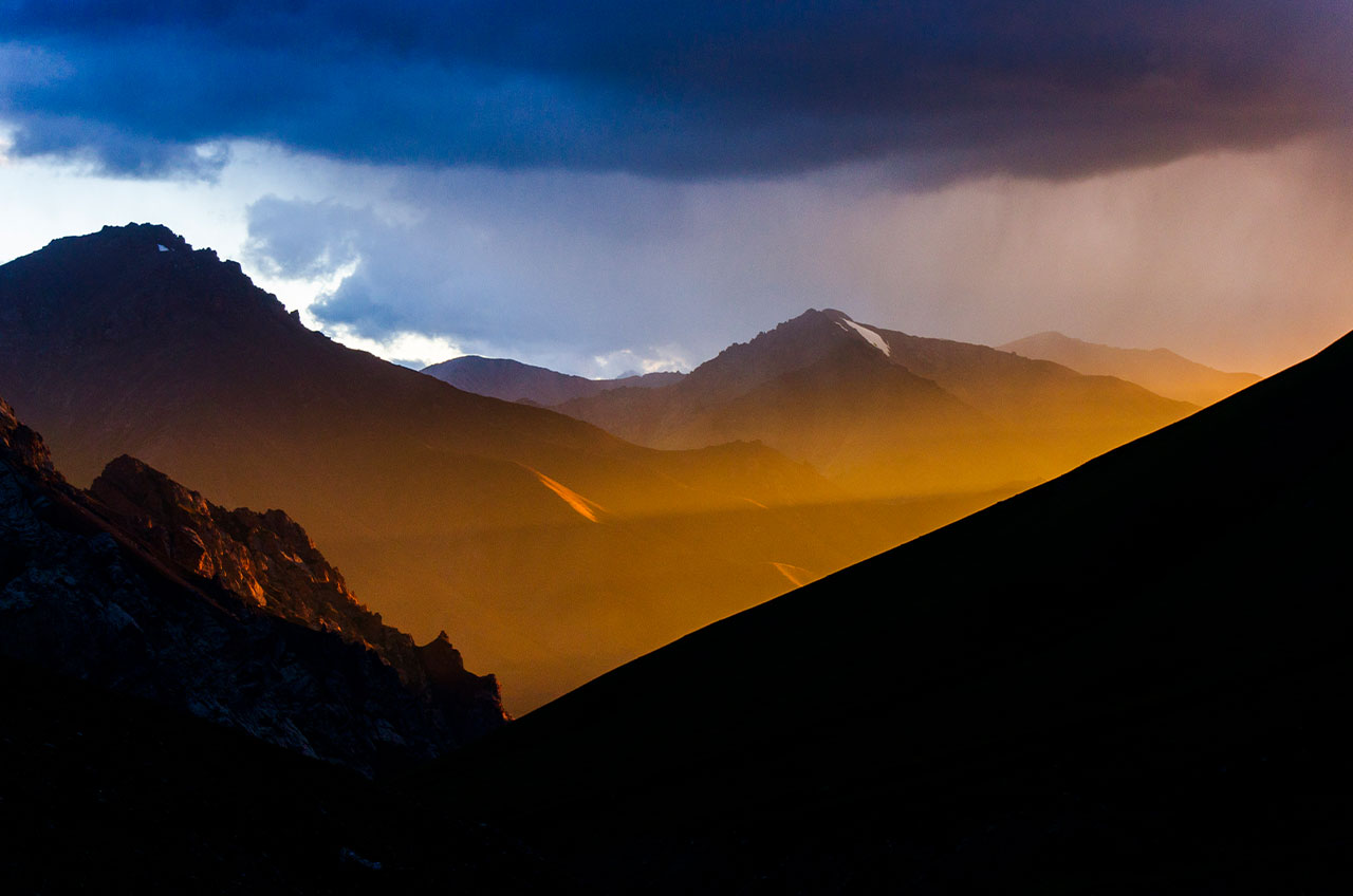
We followed the trail carefully through the glacier and the pass, cutting across to another pass along the south-facing ridge. I remembered that it was often windy and rainy here, so it was best to pass quickly.
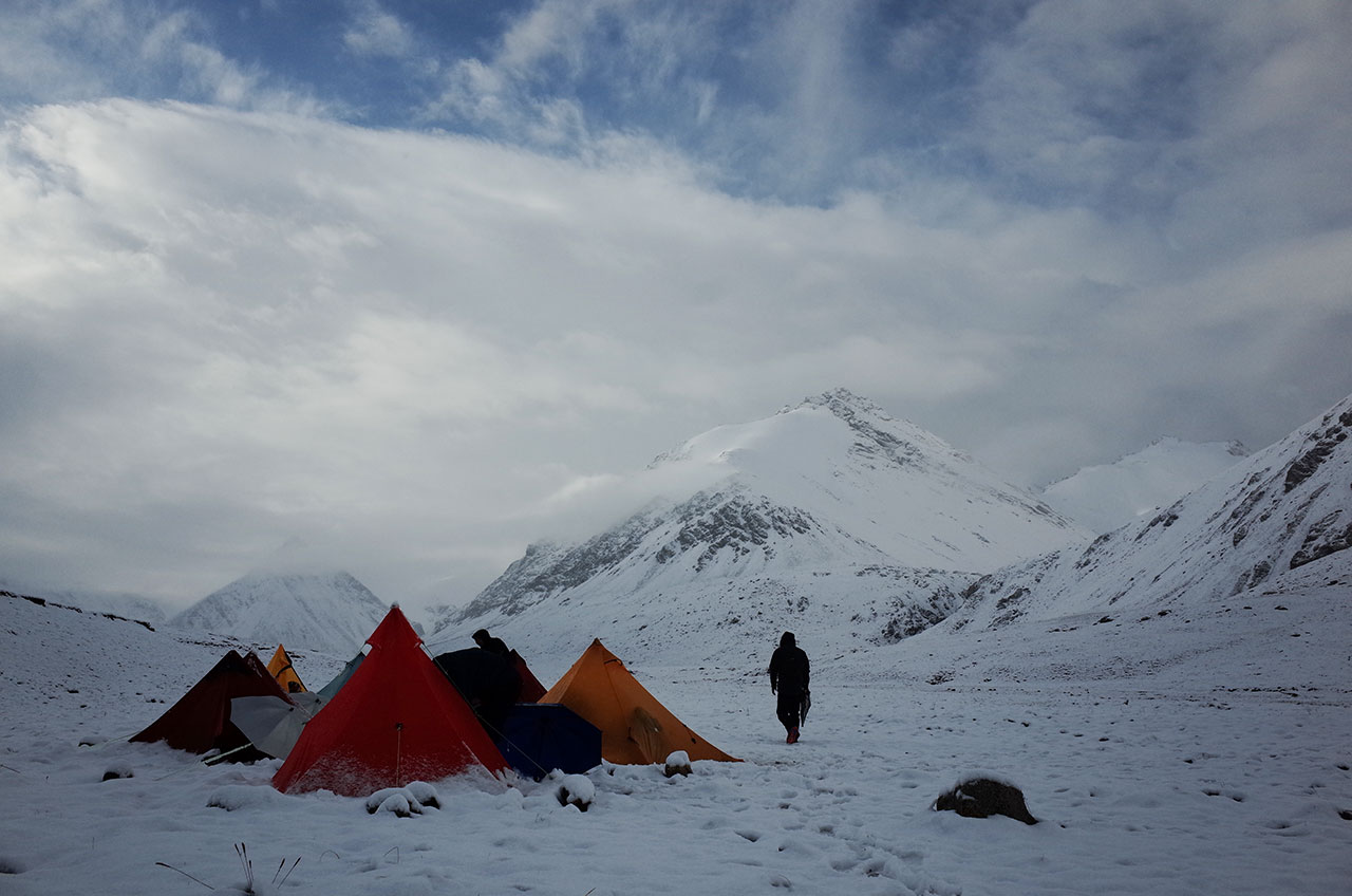
Descending at least 500 metres after passing 2 passes we could reach an abandoned house and we chose to camp near it.
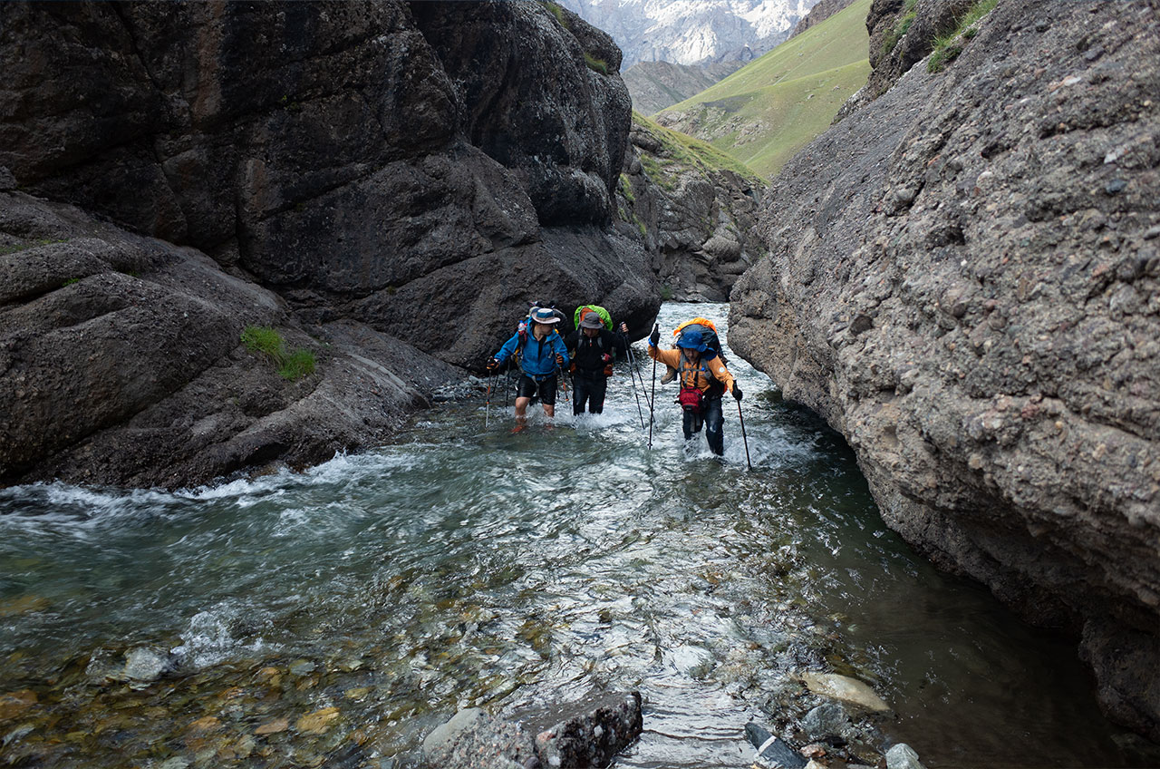
DAY6 16km River Valley-Store-Wulan Pass 3380m-Yunza Camp
There was only one river crossing today, and it was half a day at a time.
We spent the first half of the trip pretty much soaking in water. The water temperature was just under 10 degrees centigrade. This made us have to take several breaks to return our body temperature.
Luckily it was a sunny day, it’s hard to imagine how hard it would have been without the sun.
Five hours away from the campsite we reached a shop, a temporary camp for herders who had started a business selling coke and beer because of the iron ore mine nearby. It’s a good supply point for some food.
We didn’t stay long at the shop and opted to go to the less populated Yunza for the night.
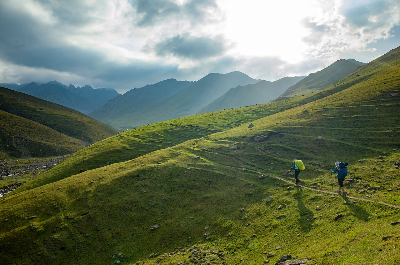
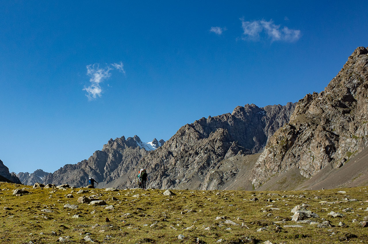
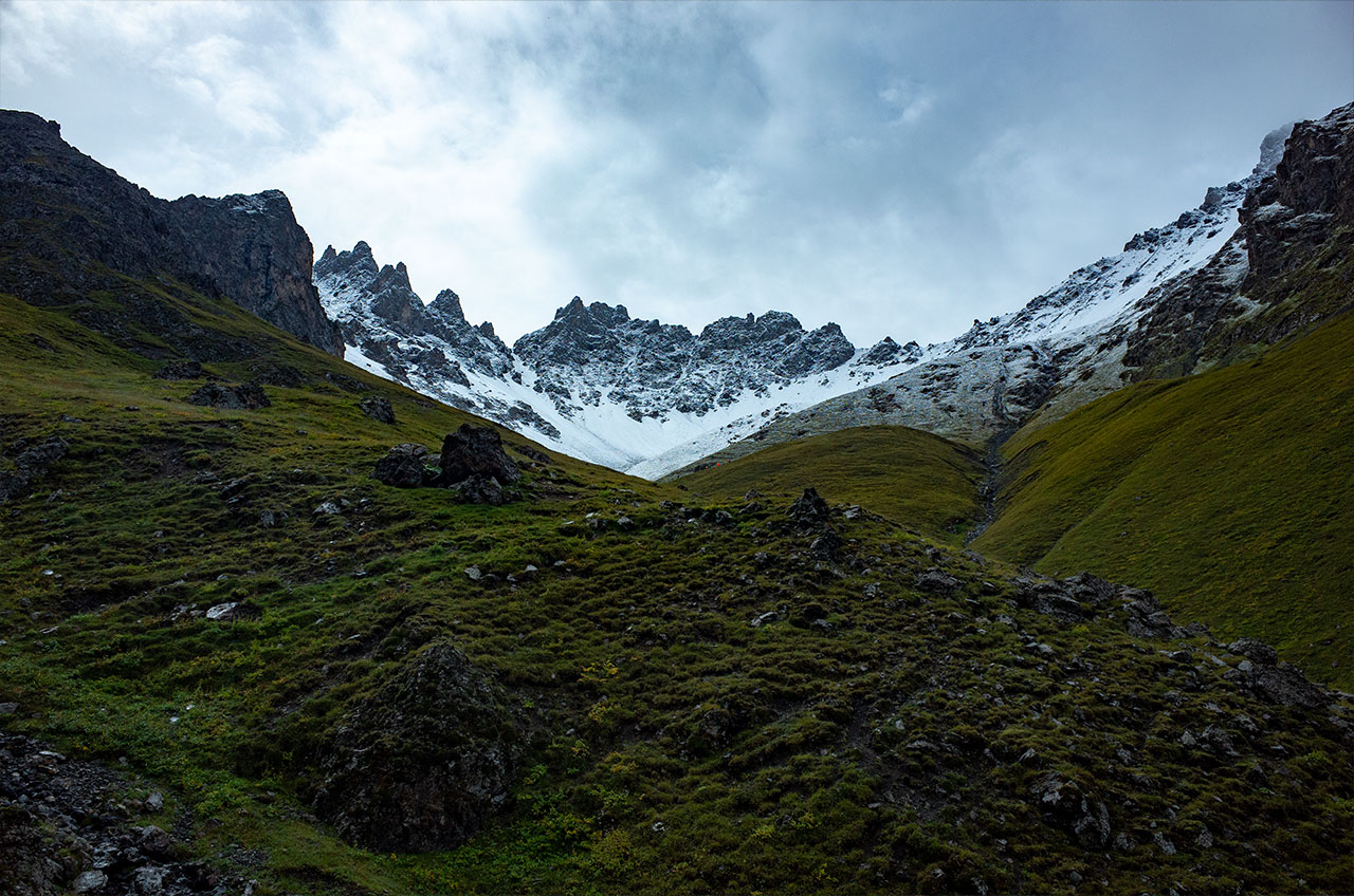
DAY7 21km Yunza-Xiare Pass 3150m-Green Lake
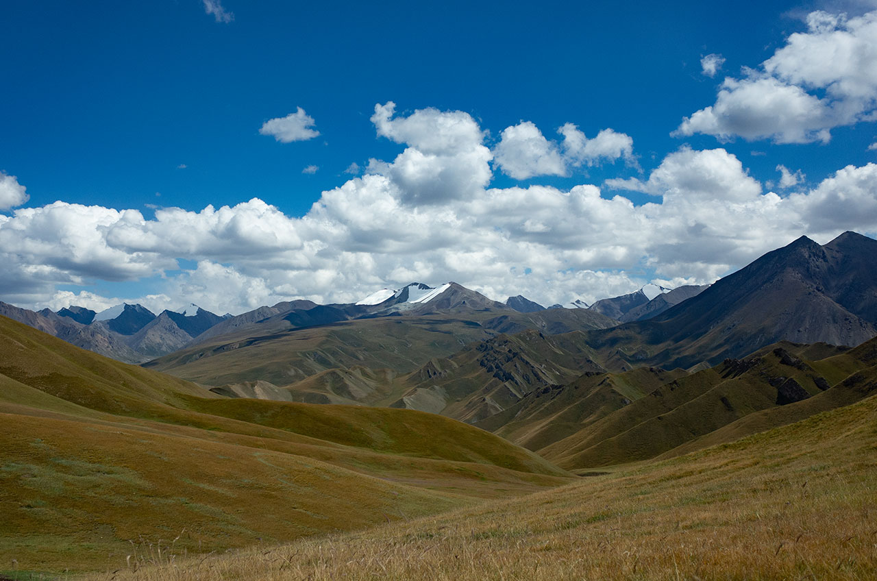
It was a tough day, unlike the previous days when the mountains were soaring, from today onwards the mountains started to flatten out tremendously, which meant that we needed to walk a lot more. There were many rivers and swamps to cross on the way to reach the Green Lake, which is a whopping 3,500 metres above sea level.
Green Lake is an ice bucket lake, but the glaciers on the far side of the mountain have disappeared and it now sits at the end of a large swamp. It is very wet and cold.
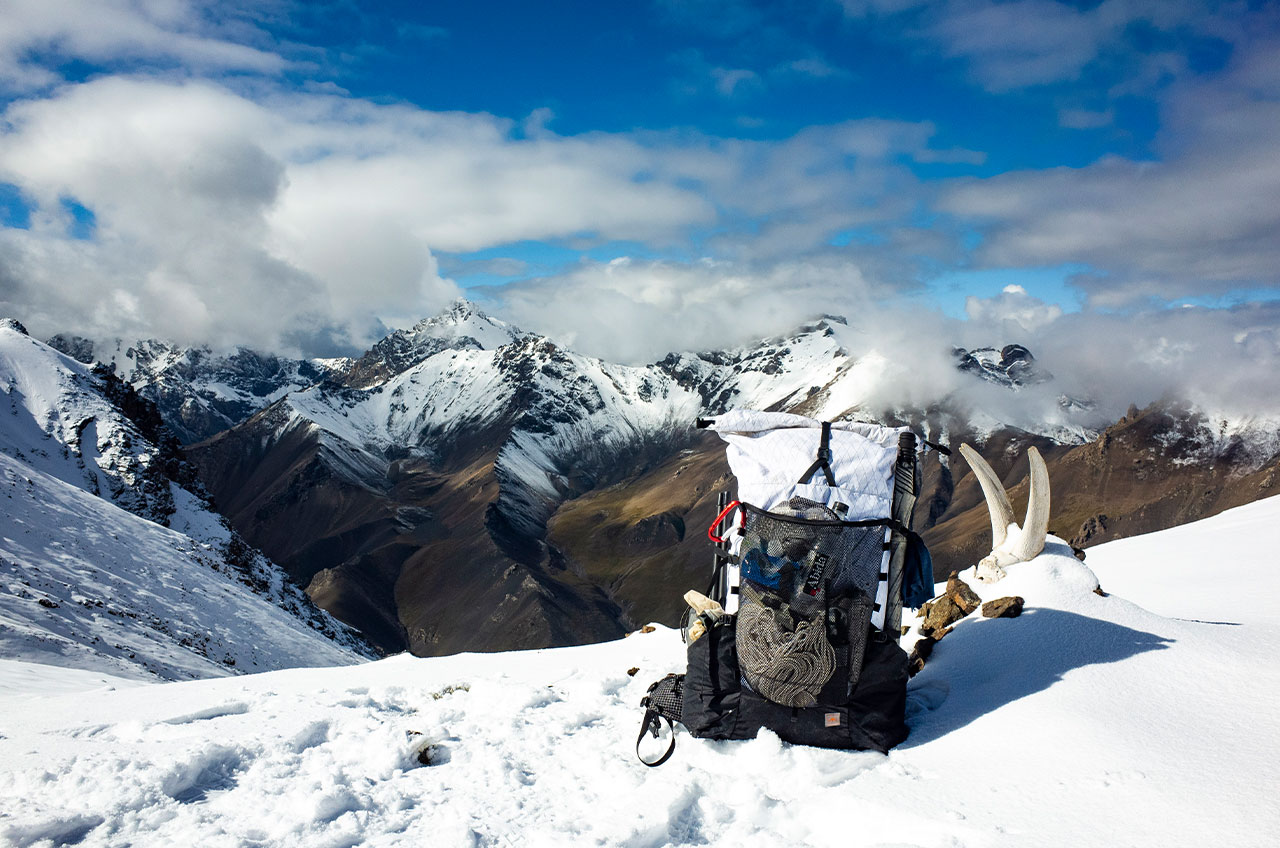
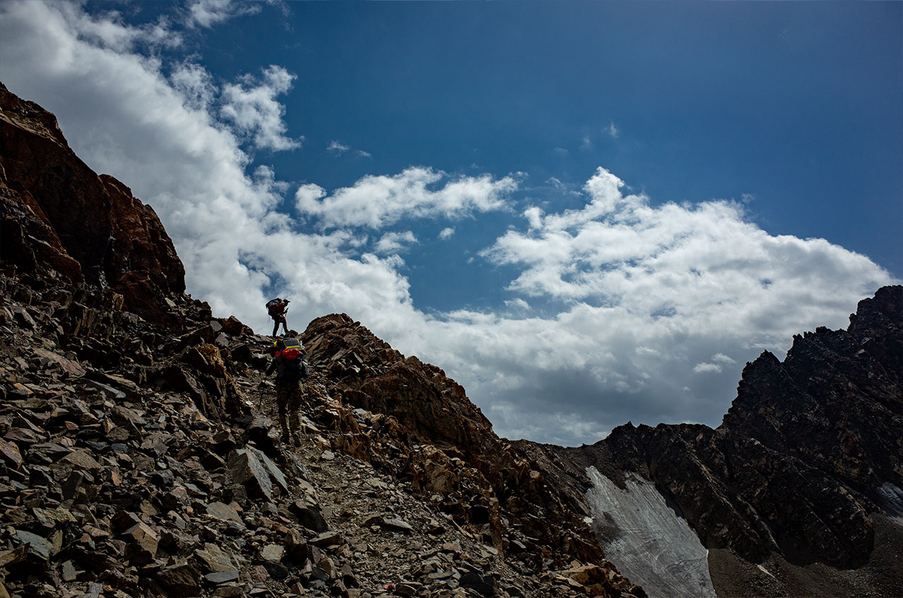
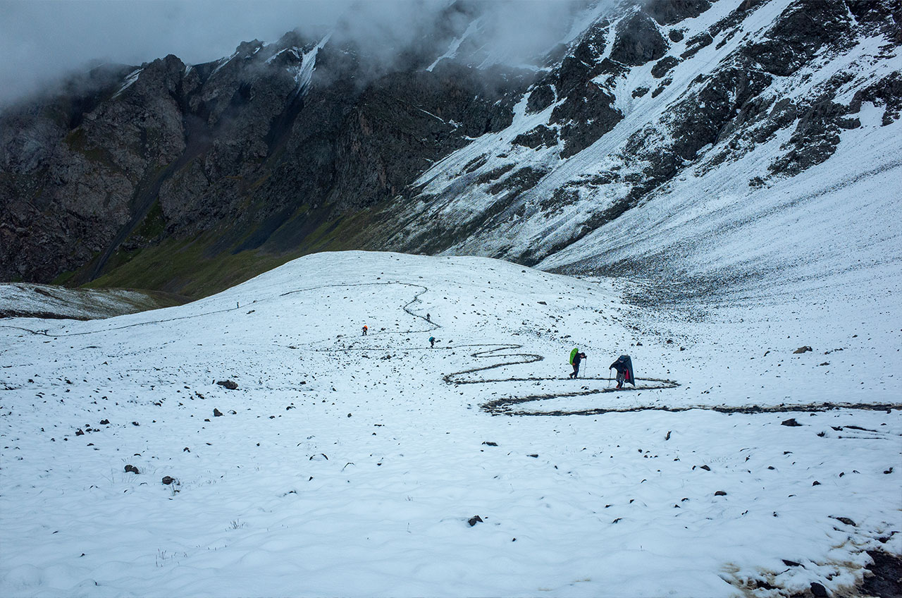
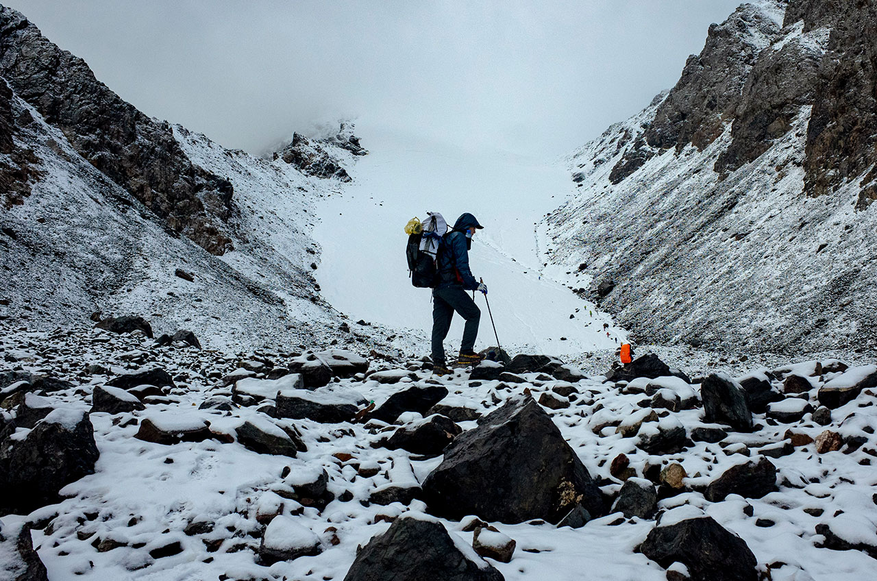
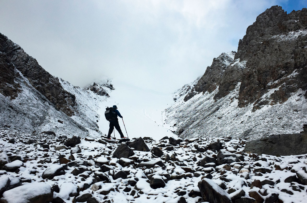
DAY8 15km Green Lake-Wulabutu Pass 4010m-Sanhetun Camp
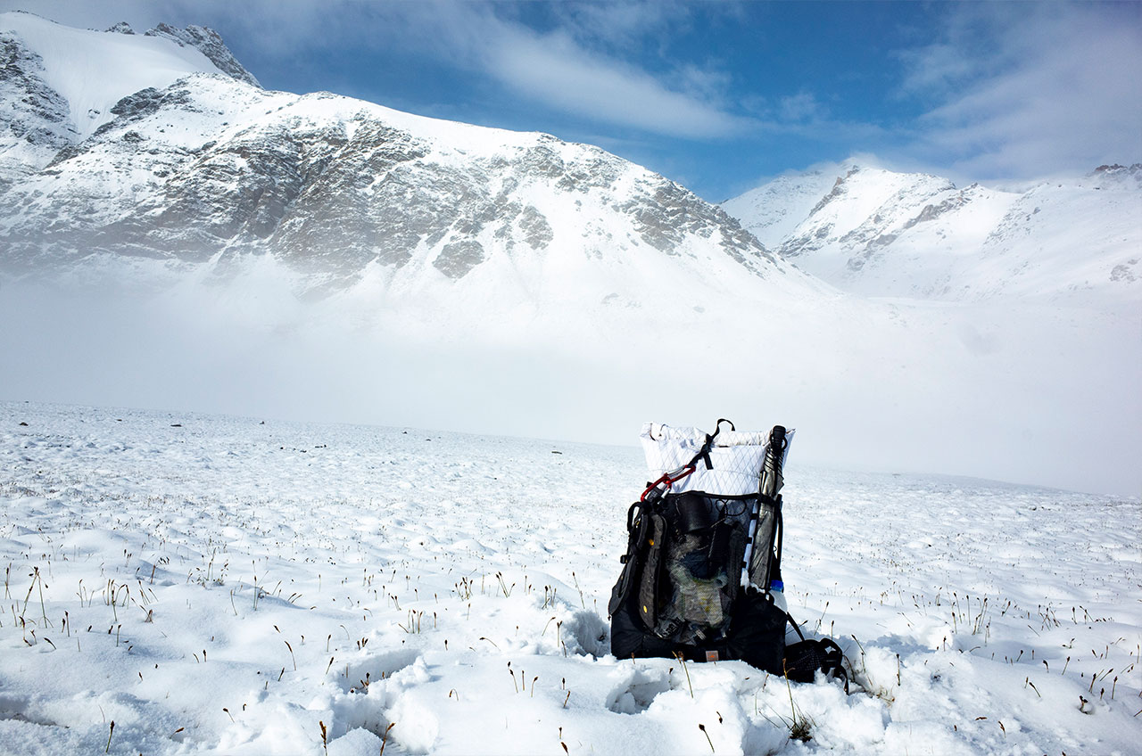
To the left of Green Lake is the pass to be crossed, this pass is over 4,000 metres above sea level and is the highest point of the trek. However, it is only 500 metres from the campsite, so it is not very difficult. We were caught in a snowstorm here with visibility of only 20 metres or so, which made it difficult, and all the trails were covered in snow, so we had to rely entirely on our GPS to navigate the walk.
There was no fixed campsite today and we had only one rule, to walk as far as we could.
DAY9 25km Sanhetun-Tianger Pass 3750m- Camp
Today was the most intense day of the expedition. We had to walk for 4-5 hours to get to the foot of the mountain, the Tianger pass is very steep with a vertical height of 800 metres. It took us at least 3 hours to go over this pass, followed by a long descent. Again there was no fixed campsite today, we walked as far as we could and it was dark by the time most people found a proper place to camp, we were no exception.
DAY10 18km Qiaolengger Pass 2350m-Nongda forestry station
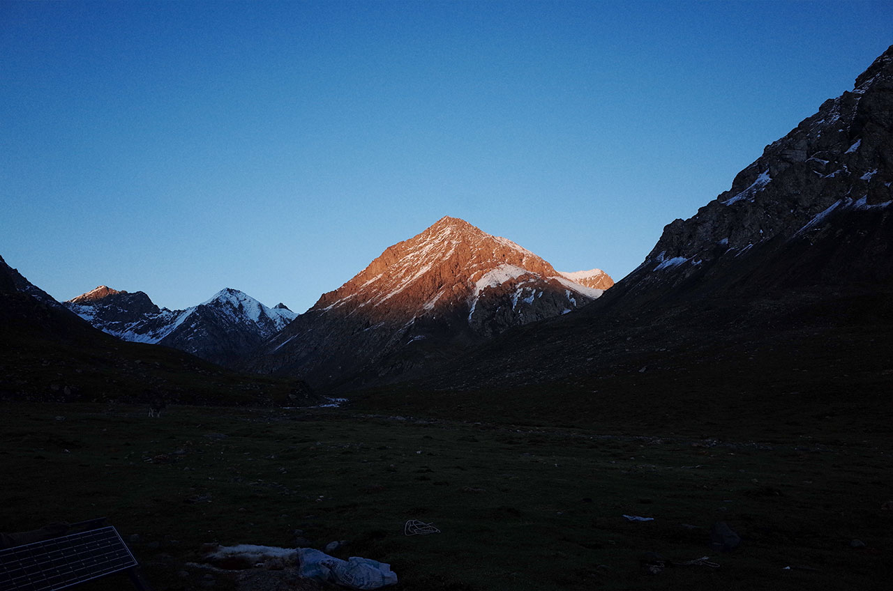
It was a long day of descending, with the alpine meadows fading away and the first to appear were the pines and then the broadleaf forests. The landscape changes from snow-capped mountains to forests. Then man-made structures. The journey passes a lot of abandoned military buildings, left over from the Cold War I guess. After all, it’s close to the Soviet Union.4