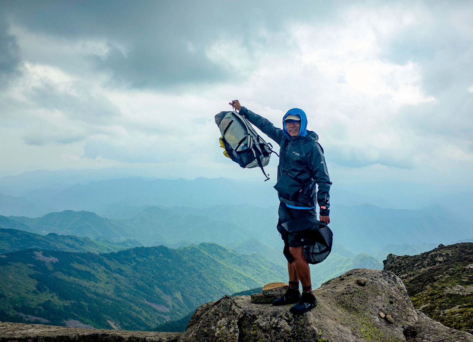
Adventure Report: Aotai Trek
WHO: Yu Liu, Liang XueYan, Jumper(JiangPu/Li Tao)
WHEN: July 2019
LENGTH: 80km 4days
WHERE: Qinling Mountain, Shanxi
DIFFICULTY: 5.5/10
This article is for our best friend, Jumper– the best explorer and outdoor gear designer(1972-2021)
DAY1 TaibaiMountain(3771m)-Dongyuan(3174m)
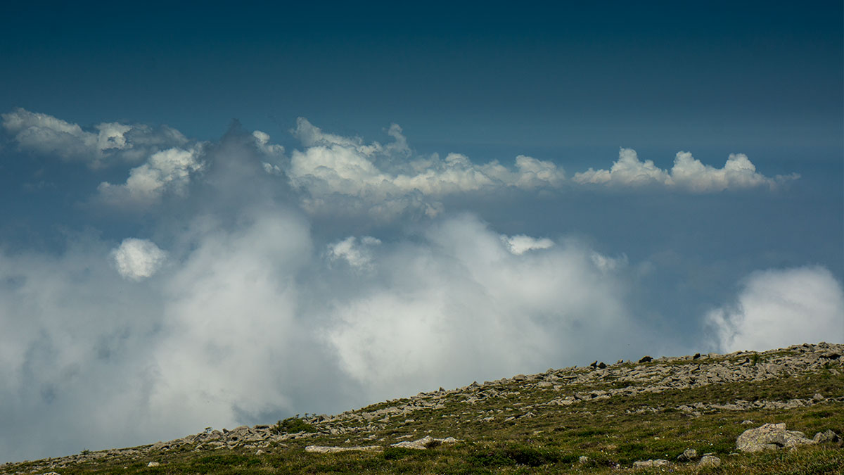
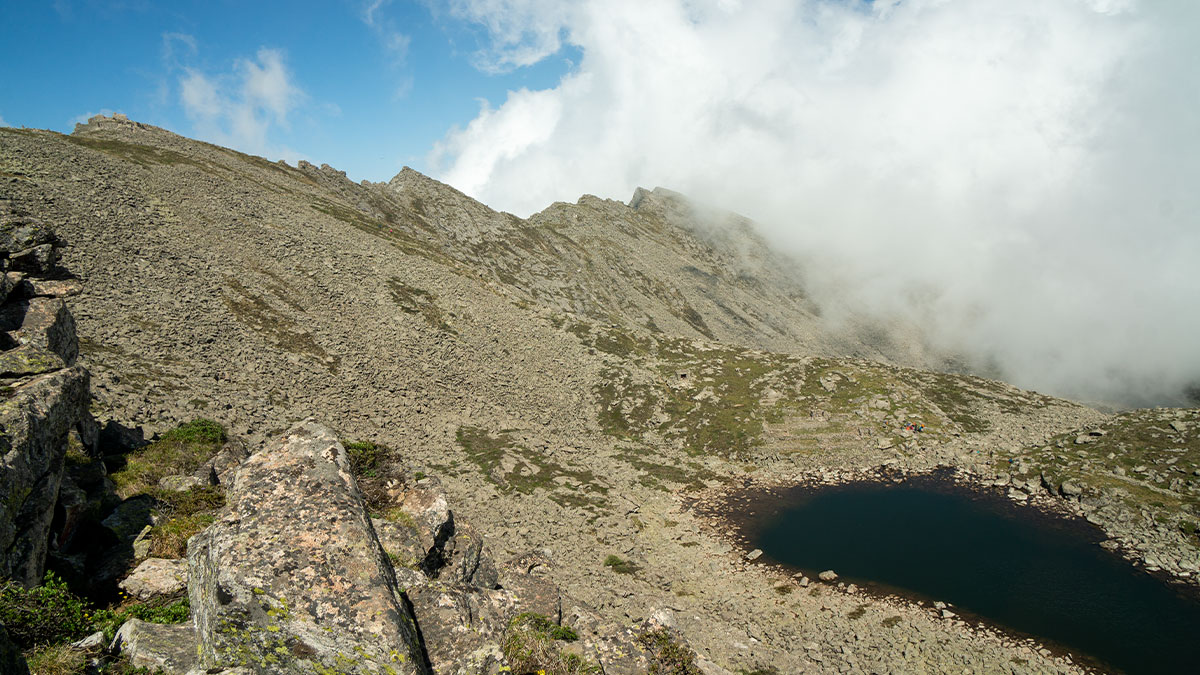
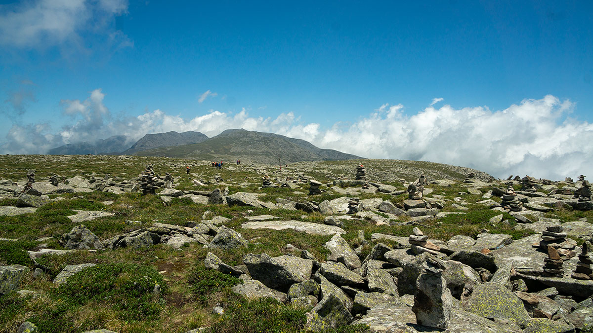
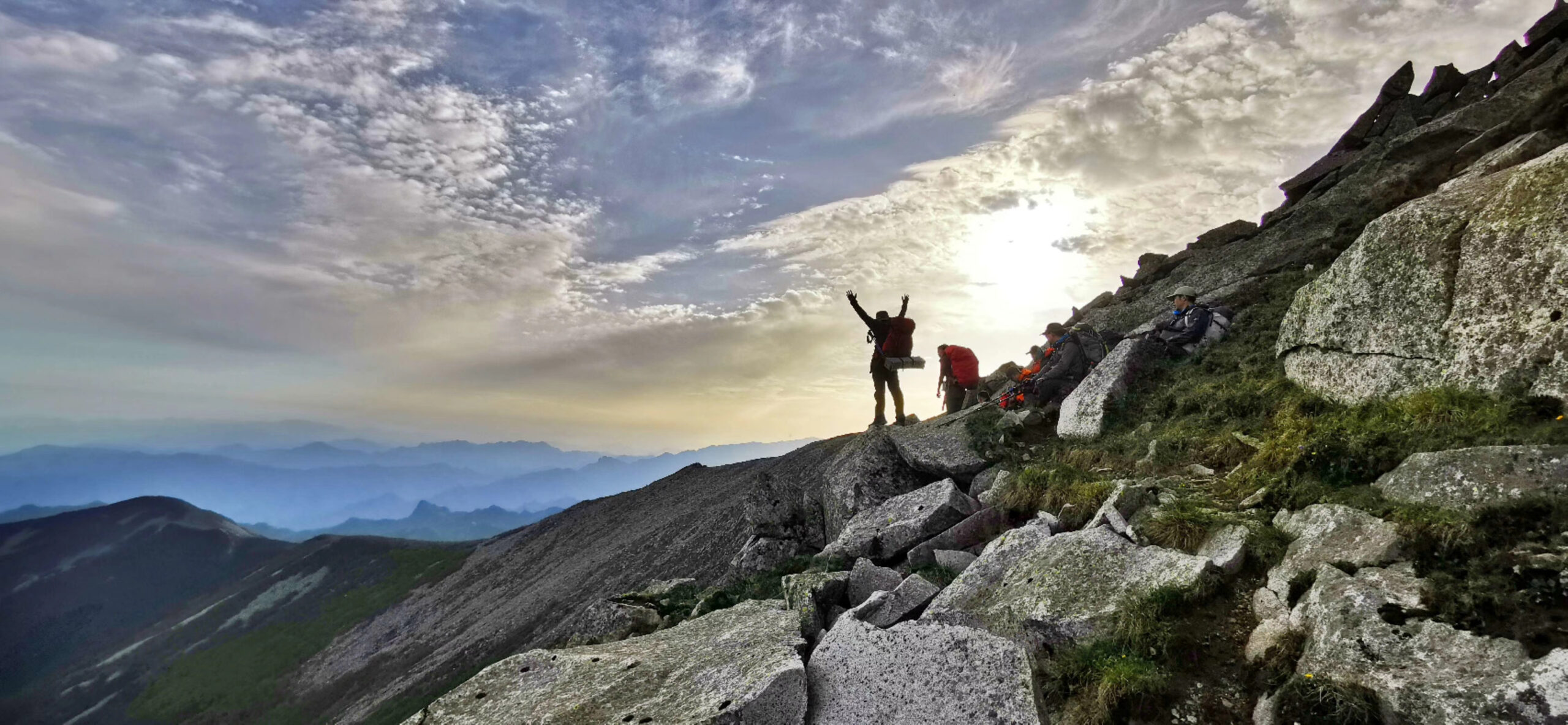
The mist hadn’t lifted yet, and we walked for 4 hours in the mist relying entirely on our GPS, but I could vaguely see black forests appearing and a sea of rocks fading away – the remains of those fourth-season glaciers proved that this place had once been an ice field, and that it was as high as 3,500 metres above sea level, but there were no objects in the shape of a mountain, and that the high-speed winds all year round chipped away at everything sharp, even hard granite can not escape the fate. From the top of Taibai Mountain to Dongyuan is a 10-kilometre stretch of alpine flatland, as flat as a rocky meadow. You can hardly imagine that all this was done in 10,000 years, which shows that the wind here is extremely terrible. He is like an invisible demon that has devoured the lives of countless trekkers. That’s why it’s also called the trekking route with the highest mortality rate.
Luckily we had passed safely through this place of death, and near the end we came across a large mani mound, also known as the ‘Position of the Ten Million Immortals’ (3,564m), which shows the way to the souls who have lost their way in the mountains.
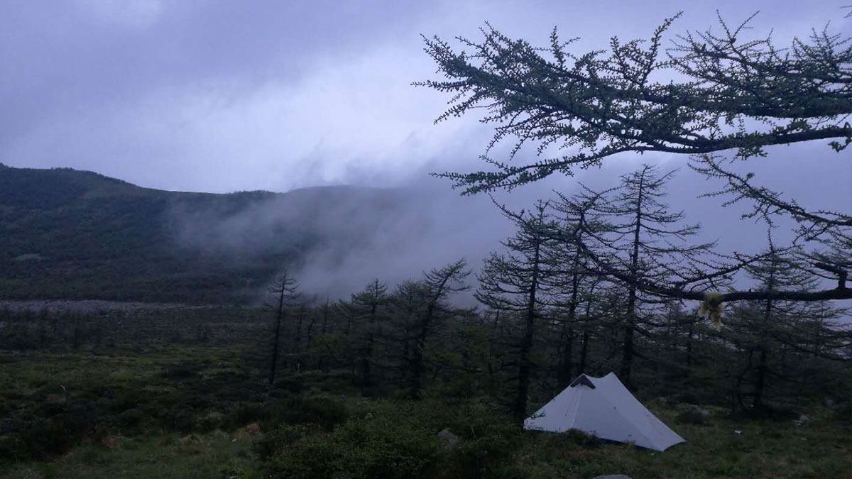
Dongyuan is a pass and a wide area of alpine swamp, it is the source of a river and a paradise of animals, but in recent years a large number of trekkers have used this place as the last campsite of AotaiTrek, dropping so much trash and gears that the place has been seriously ecologically damaged. I have been here many times, so this time I wanted to do the route in reverse and Dongyuan became our first campsite
.
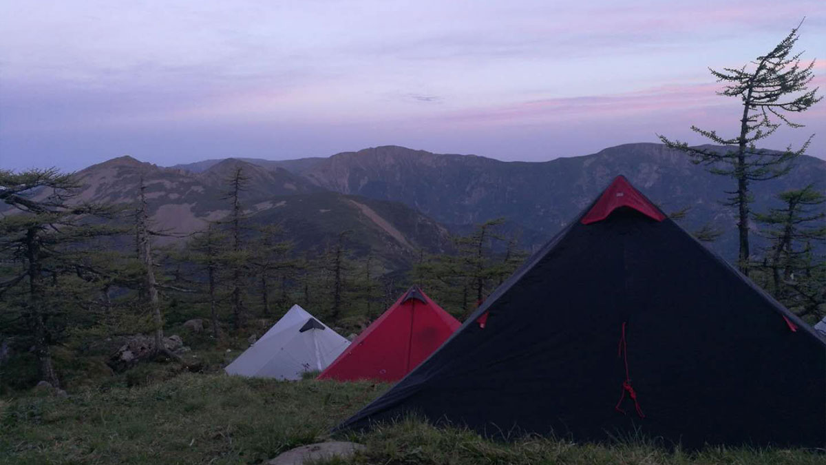
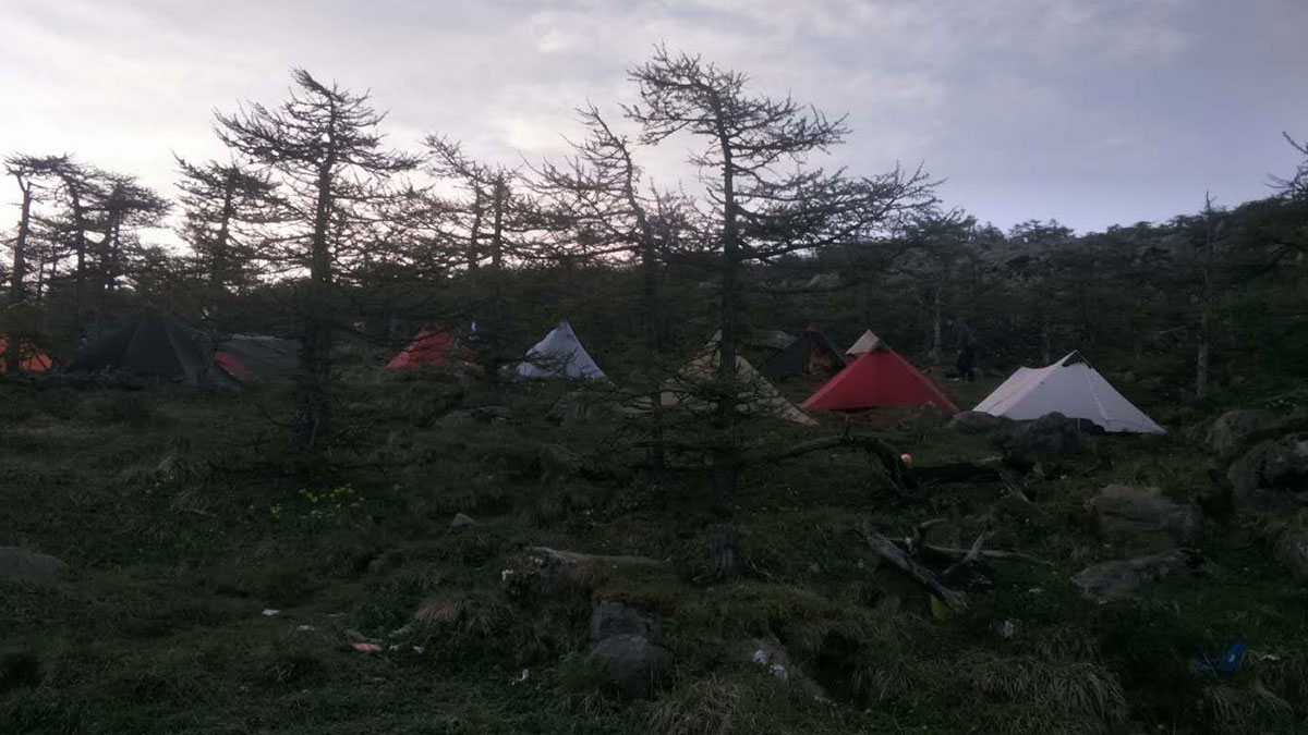
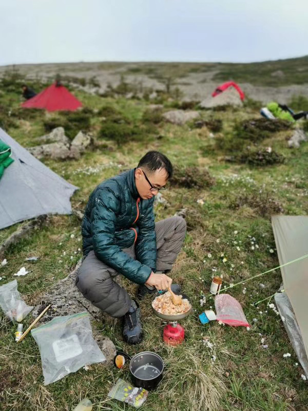
Jumper started to set up his homemade cuben tent, I had long since set up my Lanshan 1.5 prototype, and LiangXueyan was more cautious with a Lanshan 2 Fly. It’s very cold here, with little to no bugs, and we’ve all left the screen mesh inner tent at home.
DAY2 Dongyuan(3174m)-Xiyuan(3200m)-3 pyramid shaped peak-3200camp

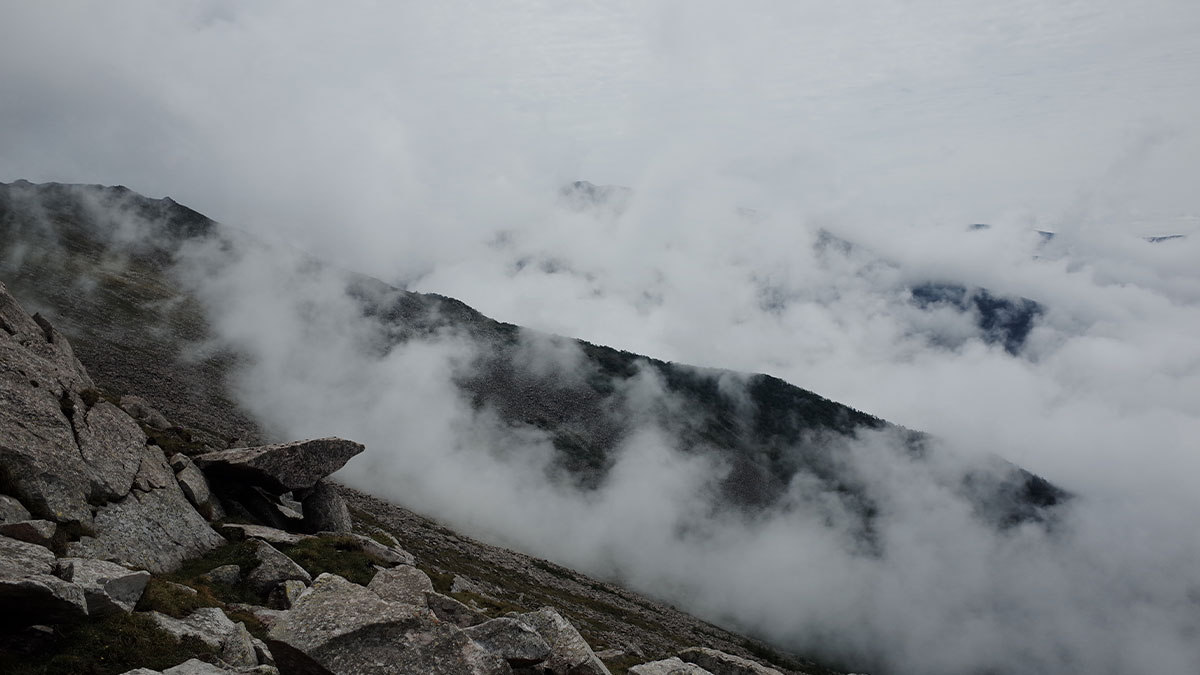
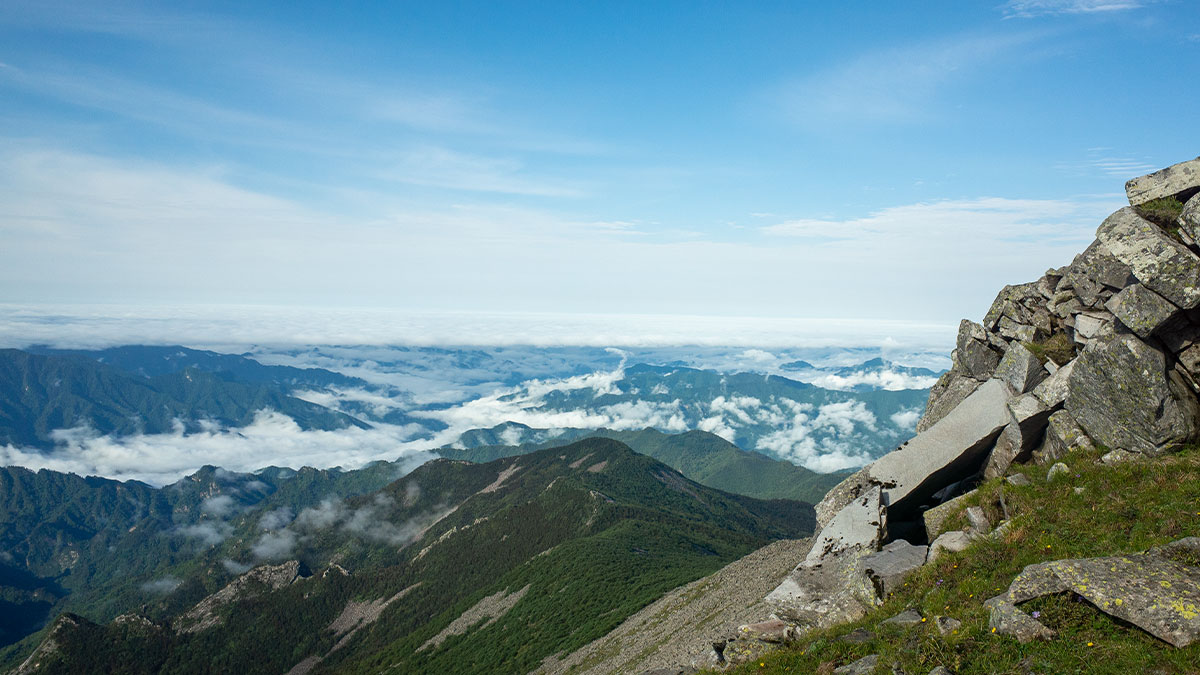
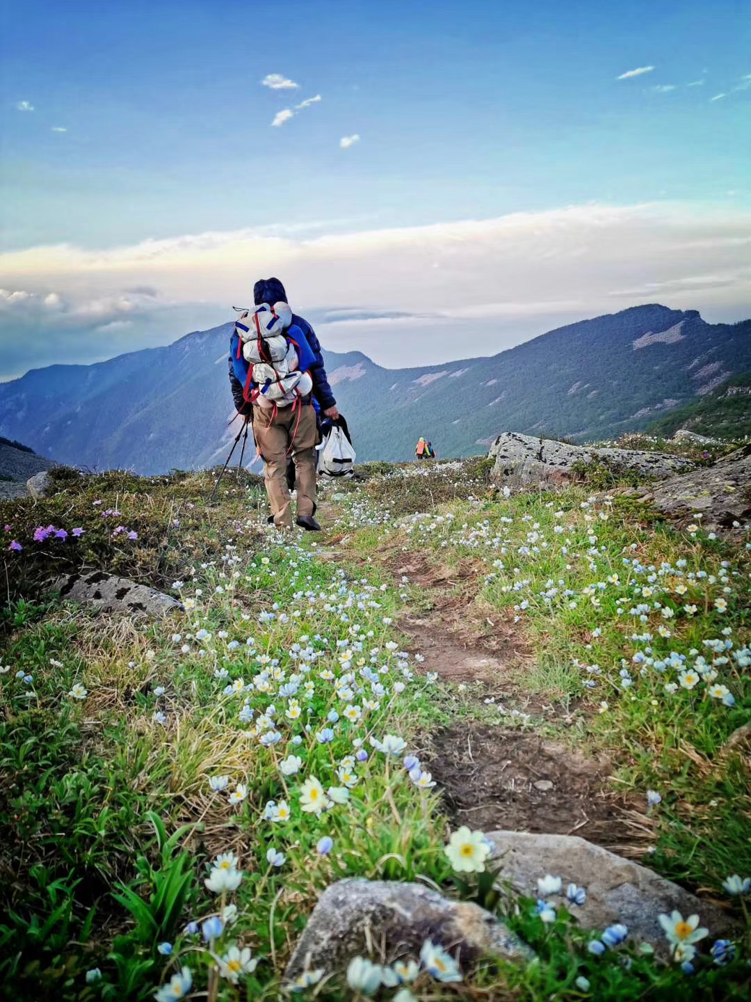
We had 16 kilometres to walk today and there was no water on the trail, so our packs were heavy. Sometimes we climbed to the top of the mountain, sometimes we followed the trail west along the mountainside, one time on the south face, the next time round to the north. Sometimes the trail disappeared suddenly, so we climbed boulders and moved by jumping between rocks the size of pickup trucks. This extremely physically demanding trail is the feature of this trek, so the weight of the backpack is magnified, and if I’m carrying a 20kg backpack, as other trekkers do, it’s hard for me to jump on the rocks with confidence.
Jumper is an experienced hiker who could easily have done this route 20 years ago when it was still a no-man’s land. He often chooses different trails than us, or maybe there are no trails. Perhaps he likes to see different landscapes, while Liang and I prefer the safety of the trails.
Camp 2800 is the choice of most trekkers, but its a gusty windy pass that we deliberately avoided by camping on a small platform 400 metres above it.
DAY3 3200camp-2800camp-Shuiwozi(3100m)
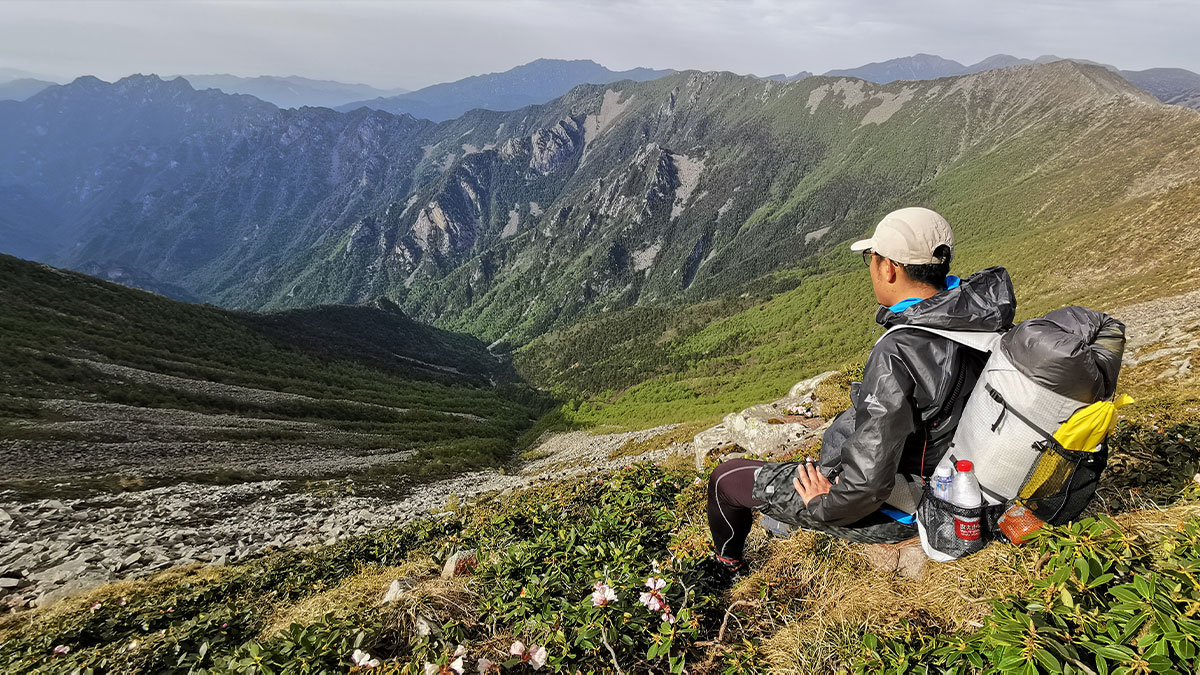
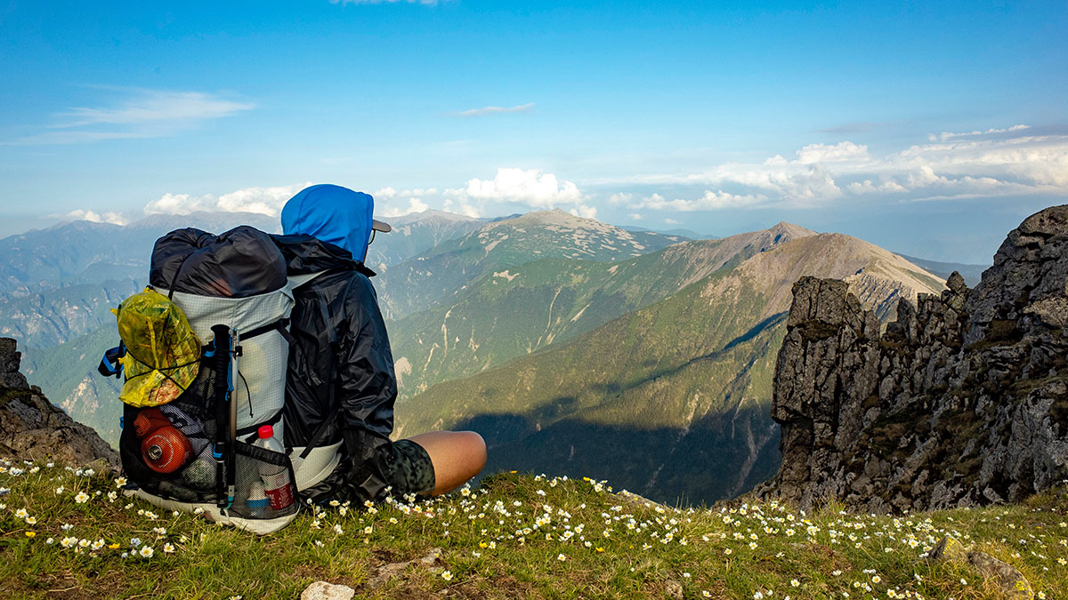
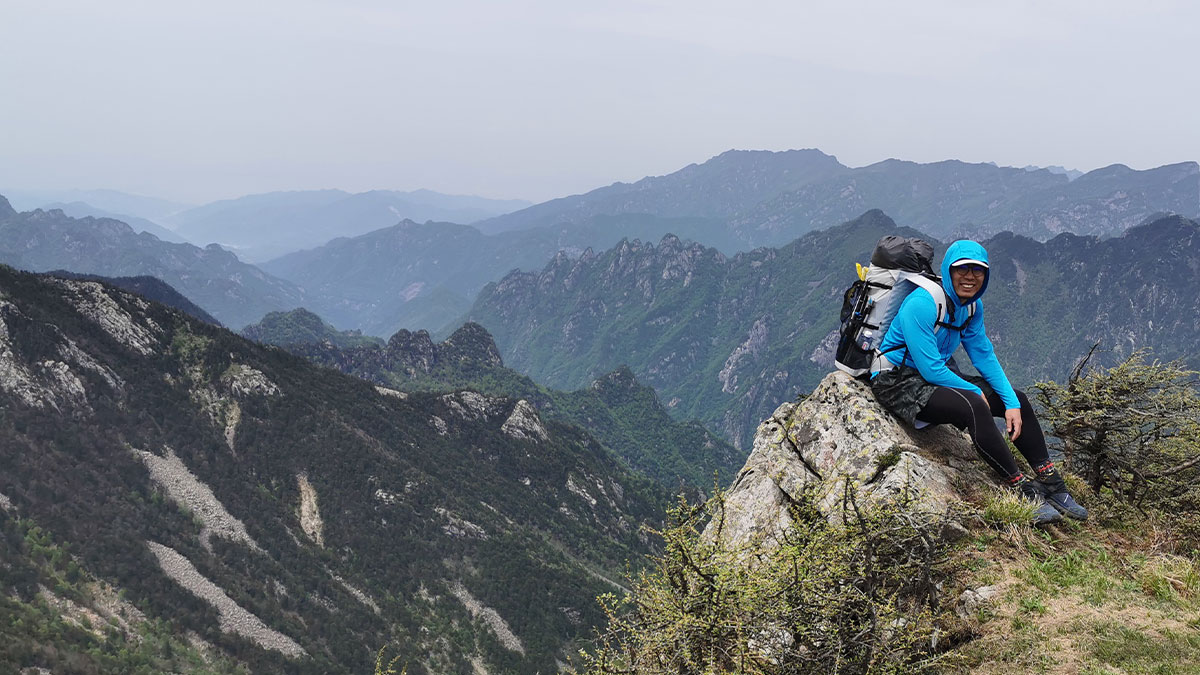
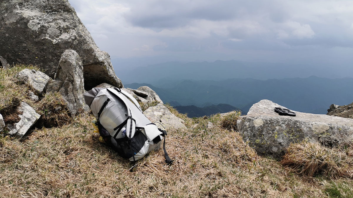
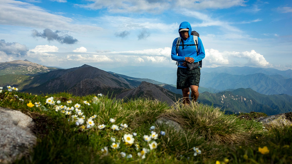
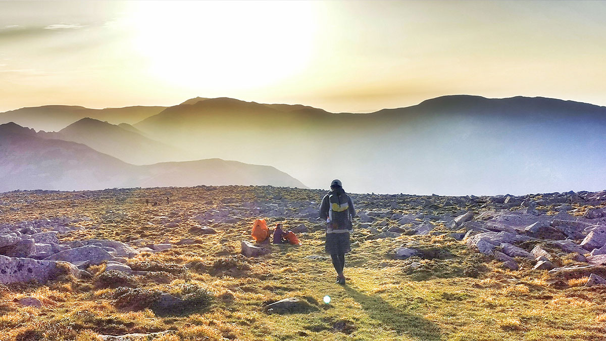
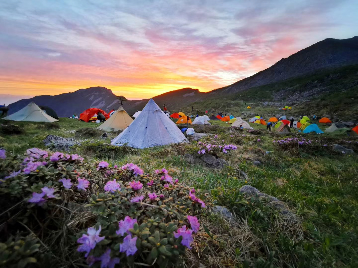
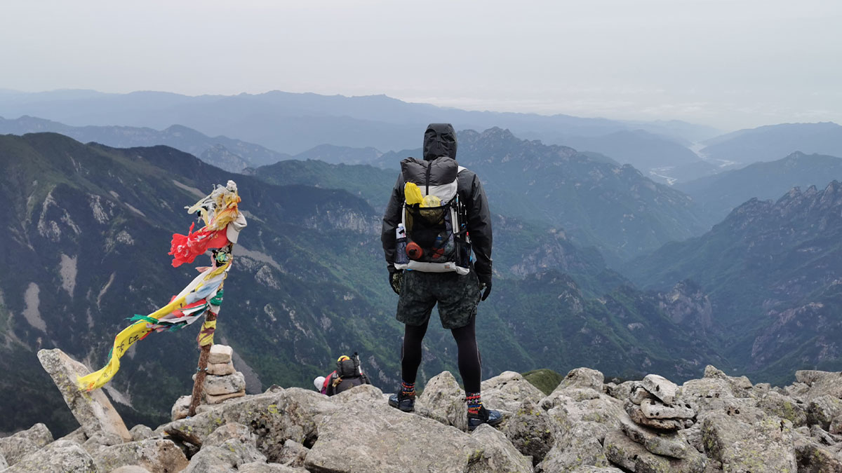
This day’s journey was extremely similar to DAY 2, with an endless rocks left behind by melting glaciers.
Before approaching the shuiwozi camp, we passed a flat summit, which was very windy just like the one we walked on the first day, where many people got hypothermia and lost their lives.
We were lucky that there was very little wind here, so that we were able to send some flowers to the Hiker’s Monument.
Thank goodness for good weather.
Shuiwozi is a low spot on the side of a mountainside, a sheltered spot, but winds at certain angles can create vortexes here that make the bad weather worse, and no place here is absolutely safe.
I remember one year over 50 tents were destroyed here at the same time and everyone had to terminate their trek early.
DAY4 Shuiwozi-Aoshan(3500m)-Niangniangtai(2900m)-Road(2000m)
Today was extremely intense, with close to 30 kilometres to go, and we needed to do everyone else’s two-day trip in one day.
Because I realised that the weather was about to change dramatically , heavy rain was coming.
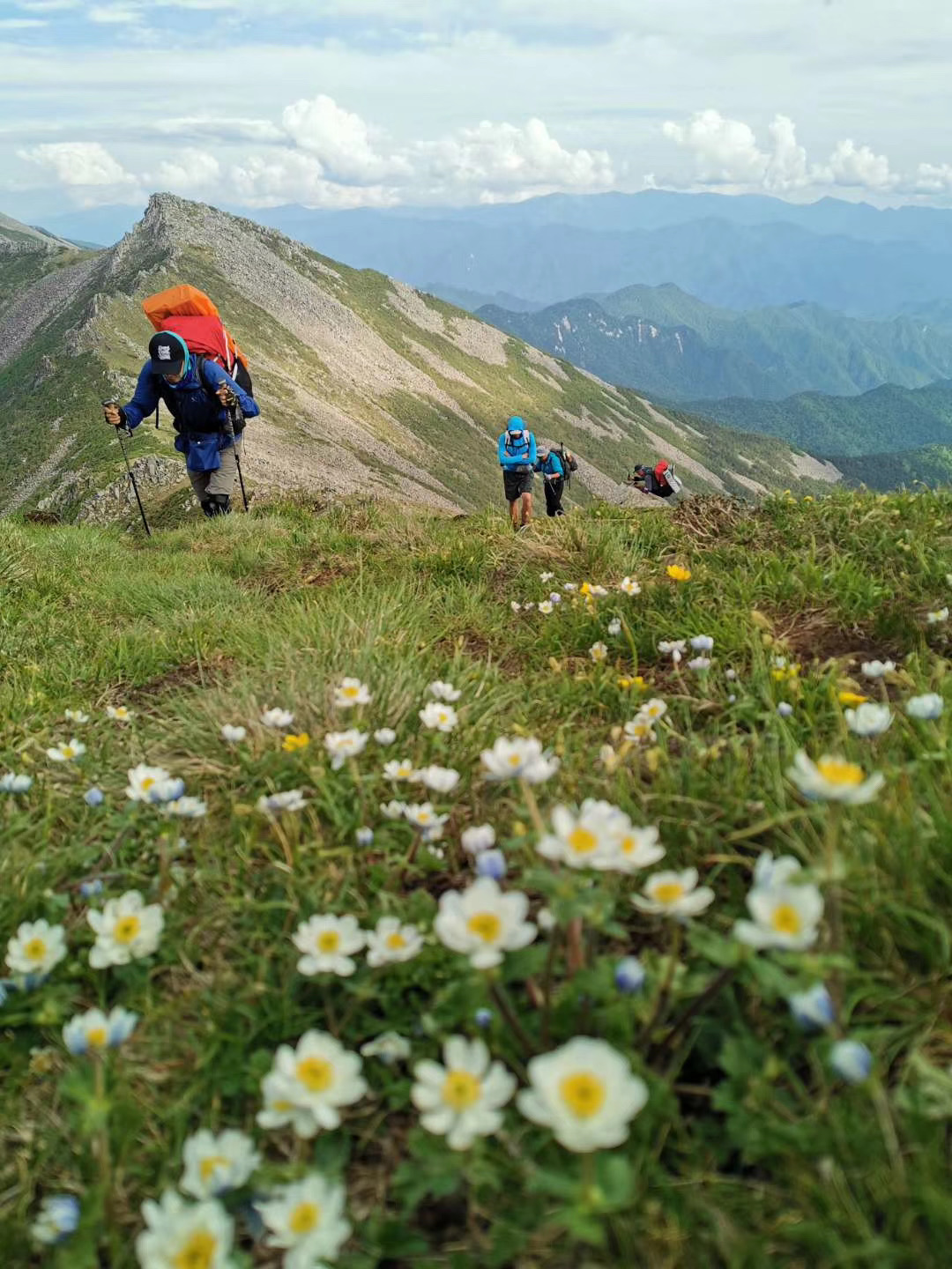
The trail is rarely travelled and most people will follow the northern slopes of Aoshan, but we chose the southern side of the valley.
This is the watershed between the climates of southern and northern China, and the south and north sides of the mountain have completely different vegetation distributions, with the south side being closer to the tropics and very humid.
Near the bottom of the valley the vegetation almost covered the trail and I had to use my hiking poles to open up the taller grasses as I went, which had the added benefit of let the wildlife to know that we were coming.
It was after 10pm when we reached the end of the route, a road I’d never been on before, Jumper sent GPS directions to his friend and we were soon back in the city.
Summary:
This trail is not too difficult overall, but the bad weather has caused many people to get injured or even lose their lives here. I think this risk is manageable, firstly by judging the window period through software such as windy to avoid encountering cold air from the north that is in the process of moving south but hasn’t yet arrived in this area, which is very prone to producing storms. If the northerly winds have started to build up and the weather is clear, the window has arrived and will last at least 2-3 days. If the southerly winds start, the weather won’t become deadly, but it will continue to rain lightly to moderately. This is the time to get down as soon as possible. If the southerly winds end and the northerly winds begin, you have about 1 day to evacuate the centre of the storm.
The other thing is that most people carry too much stuff, and the misconception is that the weather is bad here and I need to carry more gear and food. But that’s a recipe for disaster, too heavy a pack doesn’t allow one to travel fast and make quick choices. This is a high plateau and overpacking can make one more susceptible to acute mountain sickness.
Postscript:
Li Tao, trail name Jumper, who has a PhD in architectural design from Australia, has clearly put his talents to work where he prefers: hiking. And at the age of 40 he founded his own brand, Jumper Home, where he showed us a lot of uniquely designed gear on the trek, especially tents and backpacks, and he has always been an important inspiration to us, and this time was no exception.
But this was our last hike with Jumper, in 2021, he found a paradise in the great mountains.
